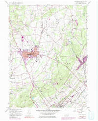
1957 Map of Quakertown
USGS Topo · Published 1984About this map
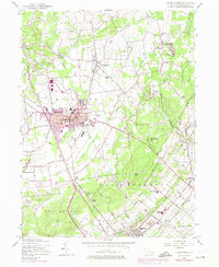
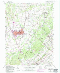
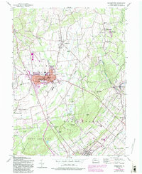
Quakertown and the surrounding townships of Richland and Haycock define this corner of Bucks County during a period of steady growth. The landscape is a mix of dense borough development and smaller outlying settlements like Richlandtown, Applebachsville, and Strawntown. Transit is anchored by the Reading railroad corridor, while a Drive-in Theater and Pennridge Airport reflect mid-century cultural shifts. Waterways such as Tohickon Creek and Cooks Creek wind through the terrain, which rises toward Rocky Ridge and Rock Hill.
Find a feature on this map
74 named features on this map. Tap any name to fly to it.
Don’t see what you’re looking for? This feature index may not catch every label — zoom into the map to look around manually.
Map Details
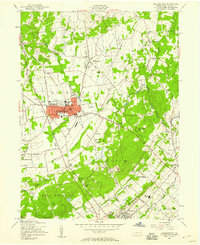
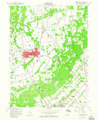
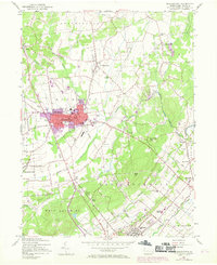
Editions of this 1957 Quakertown Map
7 editions found
Other maps of this area

1888 · Quakertown
USGS Topo · 1:62,500

1890 · Easton
USGS Topo · 1:62,500

1890 · Doylestown
USGS Topo · 1:62,500

1890 · Quakertown
USGS Topo · 1:62,500

1891 · Easton
USGS Topo · 1:62,500

1891 · Doylestown
USGS Topo · 1:62,500

1894 · Allentown
USGS Topo · 1:62,500

1894 · Quakertown
USGS Topo · 1:62,500

1932 · Easton
USGS Topo · 1:62,500

1939 · Allentown
USGS Topo · 1:62,500