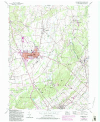
1957 Map of Quakertown
USGS Topo · Published 1994About this map
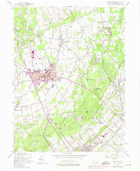
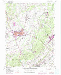
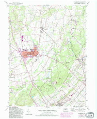
Quakertown serves as the focal point of this Bucks County survey, illustrating a period of mid-century expansion through pink-tinted urban extensions and newer developments like the Drive-in Theater and Pennridge Airport. The map captures the transition of rural townships like Richland and East Rockhill as they modernised, yet it still preserves the locations of older community anchors such as St Pauls Ch, Union Cem, and the rural Applebachsville settlement. An important geographic insight is found in the purple hatching at Nockamixon State Park, which identifies land designated to be submerged by a future dam at an elevation of 395 feet. This planned flooding of the Tohickon Creek valley represents a significant landscape shift, alongside the preservation of large tracts of State Game Lands No 139 and State Game Lands No 157.
Find a feature on this map
70 named features on this map. Tap any name to fly to it.
Don’t see what you’re looking for? This feature index may not catch every label — zoom into the map to look around manually.
Map Details
Editions of this 1957 Quakertown Map
7 editions found
Other maps of this area

1888 · Quakertown
USGS Topo · 1:62,500

1890 · Easton
USGS Topo · 1:62,500

1890 · Doylestown
USGS Topo · 1:62,500

1890 · Quakertown
USGS Topo · 1:62,500

1891 · Easton
USGS Topo · 1:62,500

1891 · Doylestown
USGS Topo · 1:62,500

1894 · Allentown
USGS Topo · 1:62,500

1894 · Quakertown
USGS Topo · 1:62,500

1932 · Easton
USGS Topo · 1:62,500

1939 · Allentown
USGS Topo · 1:62,500