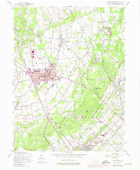
1957 Map of Quakertown
USGS Topo · Published 1974About this map
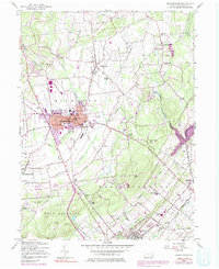
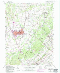
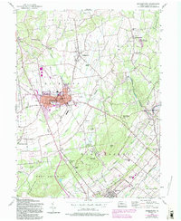
Quakertown serves as the focal point for this survey of northern Bucks County, showing a post-war landscape where established boroughs like Perkasie and Trumbauersville sit alongside rural crossroad hamlets. The era's infrastructure is evident in the transition from the Old Railroad Grade to modern developments like the Pennridge Airport and the expansion of the Pennridge High Sch. The map tracks the winding course of Tohickon Creek as it moves past Richland Center toward the wooded slopes of Rock Hill.
Find a feature on this map
71 named features on this map. Tap any name to fly to it.
Don’t see what you’re looking for? This feature index may not catch every label — zoom into the map to look around manually.
Map Details
Editions of this 1957 Quakertown Map
7 editions found
Other maps of this area

1888 · Quakertown
USGS Topo · 1:62,500

1890 · Easton
USGS Topo · 1:62,500

1890 · Doylestown
USGS Topo · 1:62,500

1890 · Quakertown
USGS Topo · 1:62,500

1891 · Easton
USGS Topo · 1:62,500

1891 · Doylestown
USGS Topo · 1:62,500

1894 · Allentown
USGS Topo · 1:62,500

1894 · Quakertown
USGS Topo · 1:62,500

1932 · Easton
USGS Topo · 1:62,500

1939 · Allentown
USGS Topo · 1:62,500