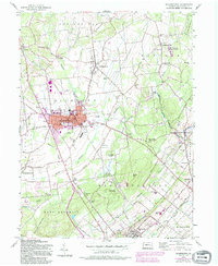
1957 Map of Quakertown
USGS Topo · Published 1994About this map
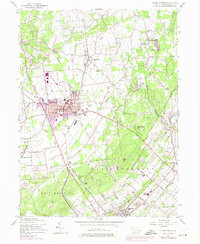
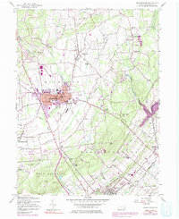
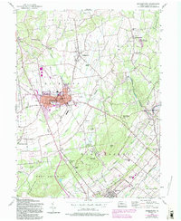
The borough of Quakertown and the surrounding townships of Richland and East Rockhill appear during a period of notable mid-century expansion and land use transition. The map details the local road network, including Tollgate Rd and Doylestown Road, which connect historical hamlets like Applebachsville, Richlandtown, and Trumbauersville. Cultural landmarks from this era are well-documented, from the Drive-in Theater west of town to the Penridge High Sch and nearby Penridge Airport to the south.
Find a feature on this map
70 named features on this map. Tap any name to fly to it.
Don’t see what you’re looking for? This feature index may not catch every label — zoom into the map to look around manually.
Map Details
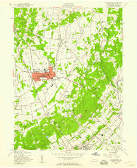
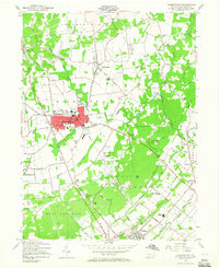
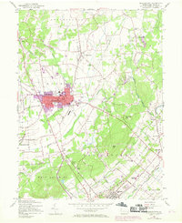
Editions of this 1957 Quakertown Map
7 editions found
Other maps of this area

1888 · Quakertown
USGS Topo · 1:62,500

1890 · Easton
USGS Topo · 1:62,500

1890 · Doylestown
USGS Topo · 1:62,500

1890 · Quakertown
USGS Topo · 1:62,500

1891 · Easton
USGS Topo · 1:62,500

1891 · Doylestown
USGS Topo · 1:62,500

1894 · Allentown
USGS Topo · 1:62,500

1894 · Quakertown
USGS Topo · 1:62,500

1932 · Easton
USGS Topo · 1:62,500

1939 · Allentown
USGS Topo · 1:62,500