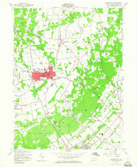
1957 Map of Quakertown
USGS Topo · Published 1965About this map
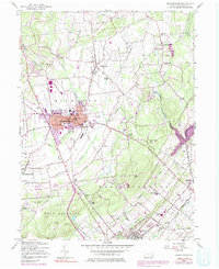
Quakertown serves as the focal point of this mid-century portrait of northern Bucks County, showing a post-war landscape of established borough centers and evolving rural townships. The Reading railroad corridor remains a primary axis of development, connecting the main borough to surrounding hamlets like Shelly and Richlandtown. The survey highlights the civic and social infrastructure of the time, from the Drive-in Theater on the western edge of town to traditional landmarks such as the Union Cem and Central Sch.
Find a feature on this map
77 named features on this map. Tap any name to fly to it.
Don’t see what you’re looking for? This feature index may not catch every label — zoom into the map to look around manually.
Map Details
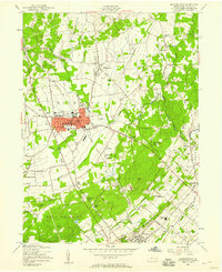
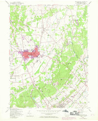
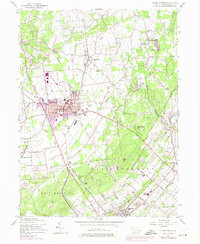
Editions of this 1957 Quakertown Map
7 editions found
Other maps of this area

1888 · Quakertown
USGS Topo · 1:62,500

1890 · Easton
USGS Topo · 1:62,500

1890 · Doylestown
USGS Topo · 1:62,500

1890 · Quakertown
USGS Topo · 1:62,500

1891 · Easton
USGS Topo · 1:62,500

1891 · Doylestown
USGS Topo · 1:62,500

1894 · Allentown
USGS Topo · 1:62,500

1894 · Quakertown
USGS Topo · 1:62,500

1932 · Easton
USGS Topo · 1:62,500

1939 · Allentown
USGS Topo · 1:62,500