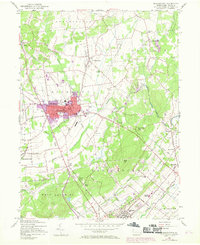
1957 Map of Quakertown
USGS Topo · Published 1969About this map
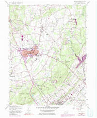
Quakertown anchors this late-1950s landscape, which was updated in 1968 to show the expanding footprints of its residential and industrial sectors. The borough's core is characterized by the Reading railroad corridor, featuring various community landmarks like the Union Cem and Central Sch. To the south, the terrain becomes more industrial and logistical near the Rockhill Sta and the Airport at Perkasie.
Find a feature on this map
71 named features on this map. Tap any name to fly to it.
Don’t see what you’re looking for? This feature index may not catch every label — zoom into the map to look around manually.
Map Details
Editions of this 1957 Quakertown Map
7 editions found
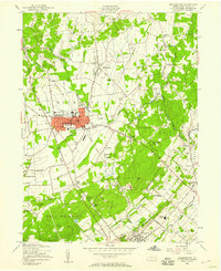
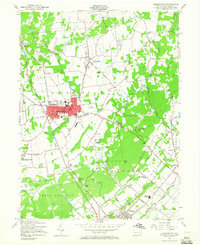
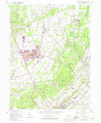
Other maps of this area

1888 · Quakertown
USGS Topo · 1:62,500

1890 · Easton
USGS Topo · 1:62,500

1890 · Doylestown
USGS Topo · 1:62,500

1890 · Quakertown
USGS Topo · 1:62,500

1891 · Easton
USGS Topo · 1:62,500

1891 · Doylestown
USGS Topo · 1:62,500

1894 · Allentown
USGS Topo · 1:62,500

1894 · Quakertown
USGS Topo · 1:62,500

1932 · Easton
USGS Topo · 1:62,500

1939 · Allentown
USGS Topo · 1:62,500