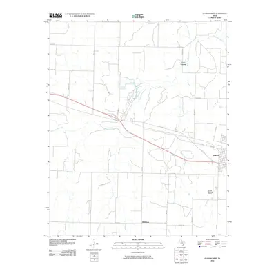
2010 Map of Quanah West
USGS Topo · Published 2010About this map
South Groesbeck Creek and North Groesbeck Creek converge in this corner of Hardeman County, defining the drainage patterns that shaped local land use. The western edge of Quanah appears on the eastern margin, showing the town's expansion toward the Quanah Municipal Airport. Transportation is dominated by the sweeping curve of State Loop 285, which bisects the landscape and connects the regional center to the rural surroundings. Small established points like Talbert Crossing and Middleburg mark the intersection of farm-to-market roads and local routes such as Arkansas Rd and Wofford Rd. The map illustrates the structured grid of rural Texas, where family-named roads like Haynes Rd and Powell Rd provide access to the agricultural acreage surrounding the Groesbeck Creek system.
Find a feature on this map
32 named features on this map. Tap any name to fly to it.
Don’t see what you’re looking for? This feature index may not catch every label — zoom into the map to look around manually.
Map Details
Editions of this 2010 Quanah West Map
This is the sole edition of this map. No revisions or reprints were ever made.
Other maps of this area

1927 · Quanah 3-a
USGS Topo · 1:48,000

1927 · Quanah 3-b
USGS Topo · 1:48,000

1932 · Vivian
USGS Topo · 1:62,500

1955 · Lawton
USGS Topo · 1:250,000

1958 · Medicine Mound
USGS Topo · 1:62,500

1960 · Goodlett
USGS Topo · 1:62,500

1960 · Teacup Mountain
USGS Topo · 1:62,500

1960 · Quanah
USGS Topo · 1:62,500

1975 · Quanah NW
USGS Topo · 1:24,000

1983 · Big Mound
USGS Topo · 1:24,000