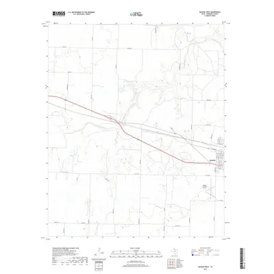
2019 Map of Quanah West
USGS Topo · Published 2019About this map
The western edge of Quanah and the surrounding Hardeman County ranch lands are defined by the winding course of Groesbeck Cr and its tributaries. The landscape is a network of named country roads and section lines, with Haynes Rd and Smith Rd carving through the northern plains while FM 104 and FM 1166 provide regional connections. This modern survey shows the industrial and transport layout of the area, including the Quanah Municipal Airport and the expanding residential grid on the west side of town. The terrain is marked by the distinct draws and basins of N Groesbeck Cr and S Groesbeck Cr, illustrating the drainage patterns that have shaped land use and ranch boundaries in this part of North Texas.
Find a feature on this map
47 named features on this map. Tap any name to fly to it.
Don’t see what you’re looking for? This feature index may not catch every label — zoom into the map to look around manually.
Map Details
Editions of this 2019 Quanah West Map
This is the sole edition of this map. No revisions or reprints were ever made.
Other maps of this area

1927 · Quanah 3-a
USGS Topo · 1:48,000

1927 · Quanah 3-b
USGS Topo · 1:48,000

1932 · Vivian
USGS Topo · 1:62,500

1955 · Lawton
USGS Topo · 1:250,000

1958 · Medicine Mound
USGS Topo · 1:62,500

1960 · Goodlett
USGS Topo · 1:62,500

1960 · Teacup Mountain
USGS Topo · 1:62,500

1960 · Quanah
USGS Topo · 1:62,500

1975 · Quanah NW
USGS Topo · 1:24,000

1983 · Big Mound
USGS Topo · 1:24,000