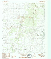
1990 Map of Quanah West
USGS Topo · Published 1995About this map
Quanah sits at the eastern edge of this West Texas landscape, where the confluence of several creek branches shapes the local geography. The drainage systems of North Groesbeck Creek and South Groesbeck Creek converge into the main channel of Groesbeck Creek, creating a network of draws and breaks across the terrain. The small community of Acme is positioned centrally near the creek, reflecting the area's industrial ties to local mineral resources.
Find a feature on this map
9 named features on this map. Tap any name to fly to it.
Don’t see what you’re looking for? This feature index may not catch every label — zoom into the map to look around manually.
Map Details
Editions of this 1990 Quanah West Map
This is the sole edition of this map. No revisions or reprints were ever made.
Other maps of this area

1927 · Quanah 3-a
USGS Topo · 1:48,000

1927 · Quanah 3-b
USGS Topo · 1:48,000

1932 · Vivian
USGS Topo · 1:62,500

1955 · Lawton
USGS Topo · 1:250,000

1958 · Medicine Mound
USGS Topo · 1:62,500

1960 · Goodlett
USGS Topo · 1:62,500

1960 · Teacup Mountain
USGS Topo · 1:62,500

1960 · Quanah
USGS Topo · 1:62,500

1975 · Quanah NW
USGS Topo · 1:24,000

1983 · Big Mound
USGS Topo · 1:24,000