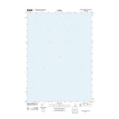
2011 Map of Quanicassee OE N
USGS Topo · Published 2011About this map
Saginaw Bay dominates the maritime landscape of this 2011 survey, which captures the vast open waters of Lake Huron just off the coast of Michigan. As a purely hydrographic study of this specific quadrangle, the map provides a clean, unobstructed view of the bay's surface area. The lack of terrestrial features or bathymetric contours emphasizes the expanse of the Great Lakes shipping environment during this era. For researchers, this document defines the water boundaries and exact geographic coordinates of the bay at the turn of the decade, serving as a precise reference for the maritime limits of Tuscola County before further coastal changes or modern digital re-mapping occurred.
Find a feature on this map
2 named features on this map. Tap any name to fly to it.
Don’t see what you’re looking for? This feature index may not catch every label — zoom into the map to look around manually.
Map Details
Editions of this 2011 Quanicassee OE N Map
This is the sole edition of this map. No revisions or reprints were ever made.
Other maps of this area

1916 · Bay City
USGS Topo · 1:62,500

1919 · Bay City
USGS Topo · 1:62,500

1943 · Bay City
USGS Topo · 1:62,500

1954 · Flint
USGS Topo · 1:250,000

1958 · Flint
USGS Topo · 1:250,000

1963 · Quanicassee
USGS Topo · 1:24,000

1963 · Fish Point
USGS Topo · 1:24,000

1963 · Fairgrove
USGS Topo · 1:24,000
1967 · Essexville
USGS Topo · 1:24,000
1967 · Bay City NE
USGS Topo · 1:24,000