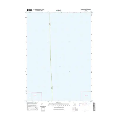
2014 Map of Quanicassee OE N
USGS Topo · Published 2014About this map
Saginaw Bay and the greater waters of Lake Huron dominate this maritime survey, documenting the aquatic boundary between two Michigan counties. The map focuses on the open water north of the shoreline, where the jurisdictional line between Bay Co and Tuscola Co extends into the bay. This 2014 edition provides a clear record of the modern hydrography and political boundaries of the region, specifically in the townships of t14n r6e and t14n r7e. While primarily a marine study, the survey anchors itself to the Public Land Survey System grid, which is essential for researchers mapping coastal property and historical submerged lands in this portion of Michigan.
Find a feature on this map
7 named features on this map. Tap any name to fly to it.
Don’t see what you’re looking for? This feature index may not catch every label — zoom into the map to look around manually.
Map Details
Editions of this 2014 Quanicassee OE N Map
This is the sole edition of this map. No revisions or reprints were ever made.
Other maps of this area

1916 · Bay City
USGS Topo · 1:62,500

1919 · Bay City
USGS Topo · 1:62,500

1943 · Bay City
USGS Topo · 1:62,500

1954 · Flint
USGS Topo · 1:250,000

1958 · Flint
USGS Topo · 1:250,000

1963 · Quanicassee
USGS Topo · 1:24,000

1963 · Fish Point
USGS Topo · 1:24,000

1963 · Fairgrove
USGS Topo · 1:24,000
1967 · Essexville
USGS Topo · 1:24,000
1967 · Bay City NE
USGS Topo · 1:24,000