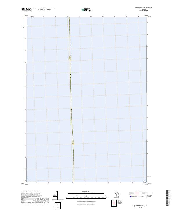
2023 Map of Quanicassee OE N
USGS Topo · Published 2023About this map
Bay Co Tuscola Co forms the central boundary of this coastal Michigan quadrangle, which is dominated by the expansive waters of Saginaw Bay. The 2023 survey illustrates the modern maritime character of the region, focusing primarily on the open water and the underwater boundary lines that define local jurisdictions. Along the southern edge of the map, land segments within T14n R6e and T14n R7e indicate the edge of the shoreline as it meets the bay. This map provides a clear spatial reference for the administrative divisions and public land survey sections that extend into the bay, serving as a primary source for understanding the littoral geography where Bay and Tuscola counties intersect.
Find a feature on this map
3 named features on this map. Tap any name to fly to it.
Don’t see what you’re looking for? This feature index may not catch every label — zoom into the map to look around manually.
Map Details
Editions of this 2023 Quanicassee OE N Map
This is the sole edition of this map. No revisions or reprints were ever made.
Other maps of this area

1916 · Bay City
USGS Topo · 1:62,500

1919 · Bay City
USGS Topo · 1:62,500

1943 · Bay City
USGS Topo · 1:62,500

1954 · Flint
USGS Topo · 1:250,000

1958 · Flint
USGS Topo · 1:250,000

1963 · Quanicassee
USGS Topo · 1:24,000

1963 · Fish Point
USGS Topo · 1:24,000

1963 · Fairgrove
USGS Topo · 1:24,000
1967 · Essexville
USGS Topo · 1:24,000
1967 · Bay City NE
USGS Topo · 1:24,000