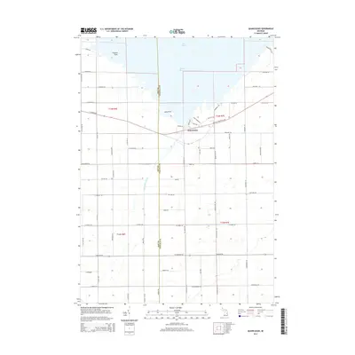
2014 Map of Quanicassee
USGS Topo · Published 2014About this map
The Quanicassee River flows into the southern reaches of Saginaw Bay in this 2014 survey of the Michigan shoreline. The small community of Quanicassee serves as the focal point where the river meets Lake Huron, situated at the border of Bay and Tuscola counties. The surrounding landscape is defined by the transition from coastal wetlands at Coryeon Point and Long Point to the grid-patterned agricultural fields of Gilford Township.
Find a feature on this map
69 named features on this map. Tap any name to fly to it.
Don’t see what you’re looking for? This feature index may not catch every label — zoom into the map to look around manually.
Map Details
Editions of this 2014 Quanicassee Map
This is the sole edition of this map. No revisions or reprints were ever made.
Other maps of this area

1916 · Bay City
USGS Topo · 1:62,500

1919 · Bay City
USGS Topo · 1:62,500

1919 · Saginaw
USGS Topo · 1:62,500

1941 · Saginaw
USGS Topo · 1:62,500

1943 · Bay City
USGS Topo · 1:62,500

1943 · Saginaw
USGS Topo · 1:62,500

1954 · Flint
USGS Topo · 1:250,000

1958 · Flint
USGS Topo · 1:250,000

1963 · Quanicassee
USGS Topo · 1:24,000

1963 · Fish Point
USGS Topo · 1:24,000