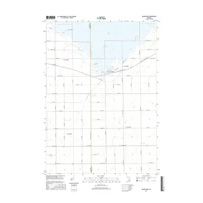
2017 Map of Quanicassee
USGS Topo · Published 2017About this map
Quanicassee sits at the southern edge of Saginaw Bay, where the Quanicassee River cuts through the expansive Quanicassee Marsh before reaching Lake Huron. This 2017 study illustrates the grid-like agricultural development typical of the Thumb region, with the Bay-Tuscola Co Line Rd acting as a sharp administrative divide between the two counties. The landscape is defined by low-lying coastal terrain, with prominent landmarks such as Coryeon Point and Long Point punctuating the shoreline. The interior is heavily partitioned by a dense network of country roads, including German Rd, W Deckerville Rd, and E Cass Avenue Rd, which facilitate the region's long-standing farming economy. Drainage features like the E Youngs Ditch Rd highlight the extensive land management required to maintain productivity in this marshy coastal environment.
Find a feature on this map
69 named features on this map. Tap any name to fly to it.
Don’t see what you’re looking for? This feature index may not catch every label — zoom into the map to look around manually.
Map Details
Editions of this 2017 Quanicassee Map
This is the sole edition of this map. No revisions or reprints were ever made.
Other maps of this area

1916 · Bay City
USGS Topo · 1:62,500

1919 · Bay City
USGS Topo · 1:62,500

1919 · Saginaw
USGS Topo · 1:62,500

1941 · Saginaw
USGS Topo · 1:62,500

1943 · Bay City
USGS Topo · 1:62,500

1943 · Saginaw
USGS Topo · 1:62,500

1954 · Flint
USGS Topo · 1:250,000

1958 · Flint
USGS Topo · 1:250,000

1963 · Quanicassee
USGS Topo · 1:24,000

1963 · Fish Point
USGS Topo · 1:24,000