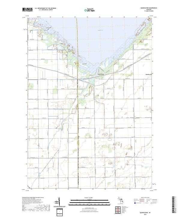
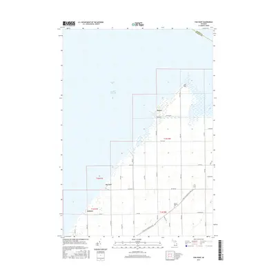
2023 Map of Quanicassee
USGS Topo · Published 2023About this map
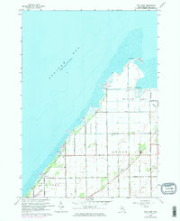
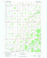
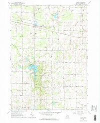
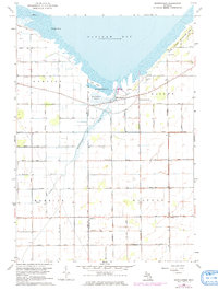
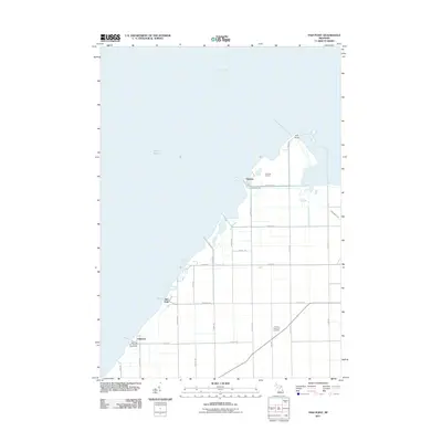
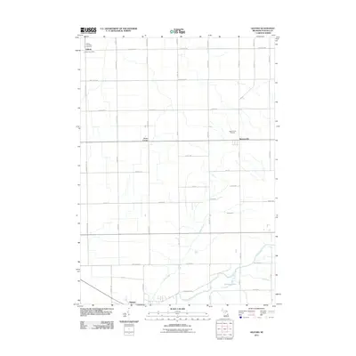
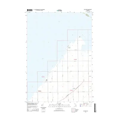
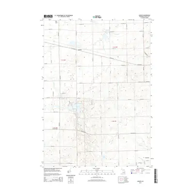
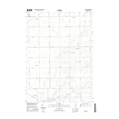
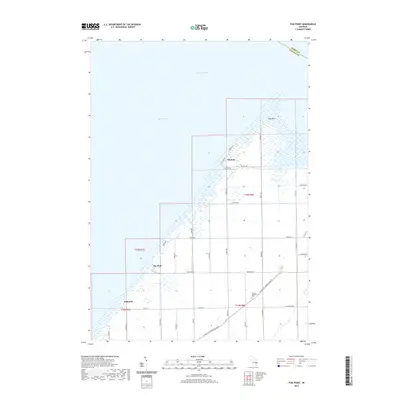
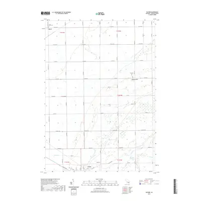
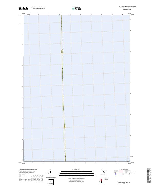
Saginaw Bay defines the northern reaches of this coastal landscape, where the Quanicassee River empties into the lake through the expansive Quanicassee Marsh. This 2023 edition documents the modern layout of the Quanicassee settlement and the nearby community of Bradleyville, set against a backdrop of meticulously gridded agricultural roads and drainage features such as E Youngs Ditch Rd. The coastline is marked by distinctive features like Coryeon Point and Long Point, which interrupt the wetlands and provide geographic orientation for this portion of the Thumb region.
Find a feature on this map
71 named features on this map. Tap any name to fly to it.
Don’t see what you’re looking for? This feature index may not catch every label — zoom into the map to look around manually.
Map Details
Editions of this 2023 Quanicassee Map
This is the sole edition of this map. No revisions or reprints were ever made.
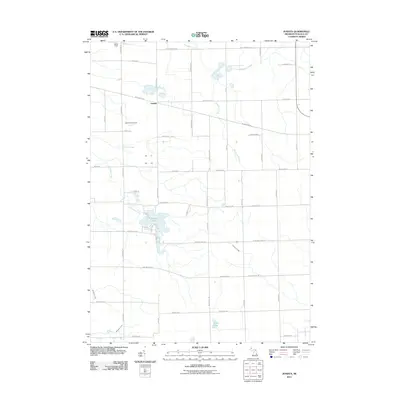
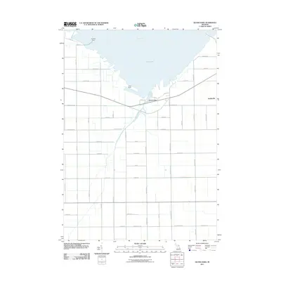
Historical Maps of Hampton Township Through Time
47 maps found
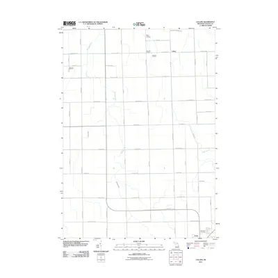
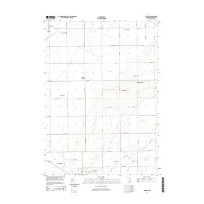
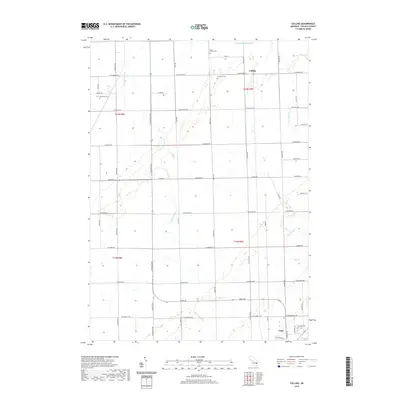
1963 Colling
Tuscola County, MI
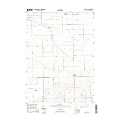
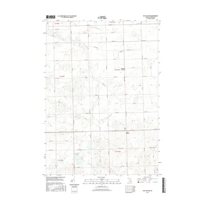
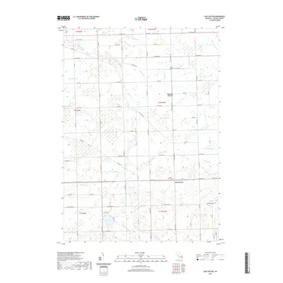
1963 East Dayton
Tuscola County, MI
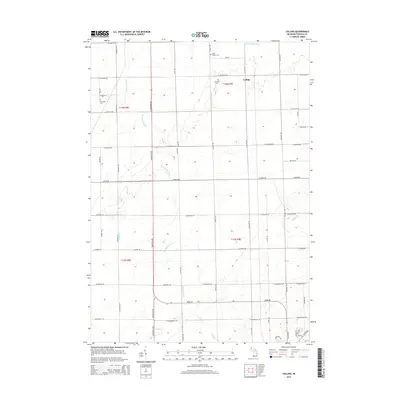
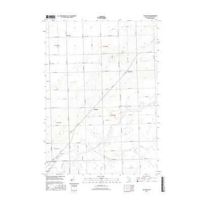
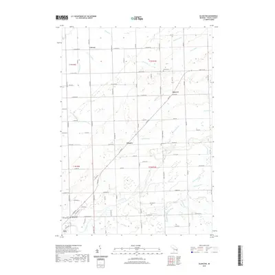
1963 Ellington
Tuscola County, MI
1963 Fish Point
Tuscola County, MI
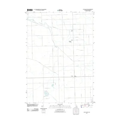
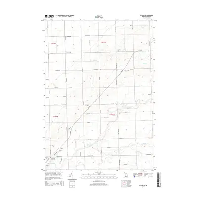
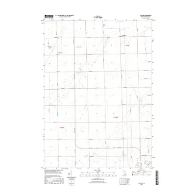
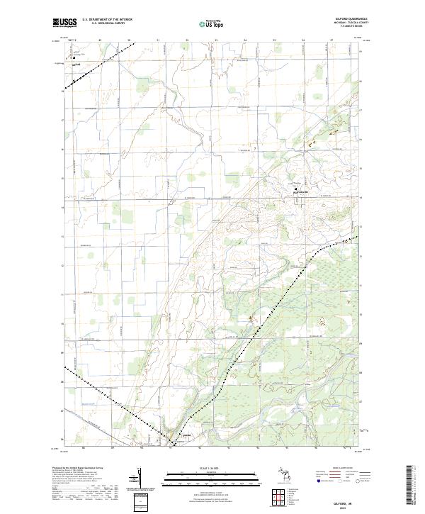
1963 Gilford
Tuscola County, MI
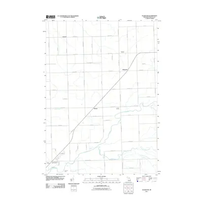
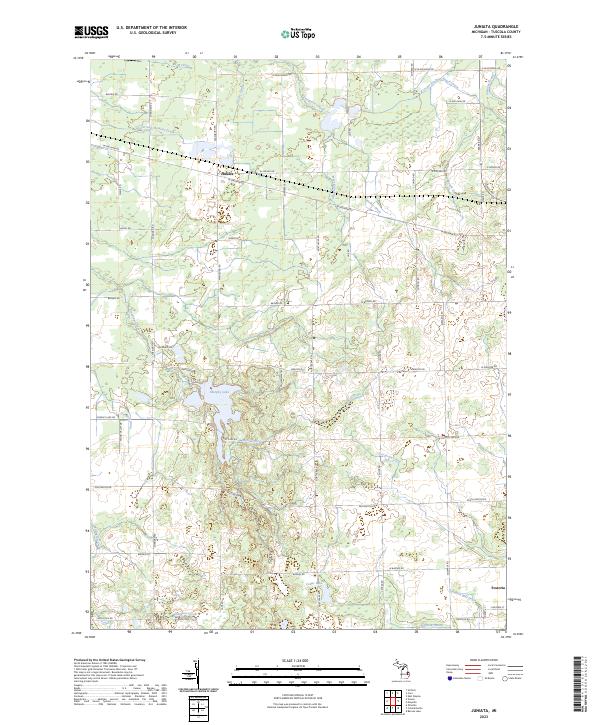
1963 Juniata
Tuscola County, MI
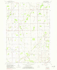
1963 Quanicassee
Tuscola County, MI
2011 Colling
Tuscola County, MI
2011 East Dayton
Tuscola County, MI
2011 Ellington
Tuscola County, MI
2011 Fish Point
Tuscola County, MI
2011 Gilford
Tuscola County, MI
2011 Juniata
Tuscola County, MI
2011 Quanicassee OE N
Tuscola County, MI
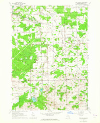
2011 Quanicassee
Tuscola County, MI
2014 Colling
Tuscola County, MI
2014 East Dayton
Tuscola County, MI
2014 Ellington
Tuscola County, MI
2014 Fish Point
Tuscola County, MI
2014 Gilford
Tuscola County, MI
2014 Juniata
Tuscola County, MI
2014 Quanicassee OE N
Tuscola County, MI
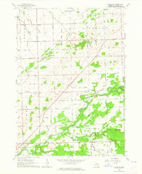
2014 Quanicassee
Tuscola County, MI
2017 Colling
Tuscola County, MI
2017 East Dayton
Tuscola County, MI
2017 Ellington
Tuscola County, MI
2017 Fish Point
Tuscola County, MI
2017 Gilford
Tuscola County, MI
2017 Juniata
Tuscola County, MI
2017 Quanicassee OE N
Tuscola County, MI
2017 Quanicassee
Tuscola County, MI
2019 Colling
Tuscola County, MI
2019 East Dayton
Tuscola County, MI
2019 Ellington
Tuscola County, MI
2019 Fish Point
Tuscola County, MI
2019 Gilford
Tuscola County, MI
2019 Juniata
Tuscola County, MI
2019 Quanicassee OE N
Tuscola County, MI
2019 Quanicassee
Tuscola County, MI
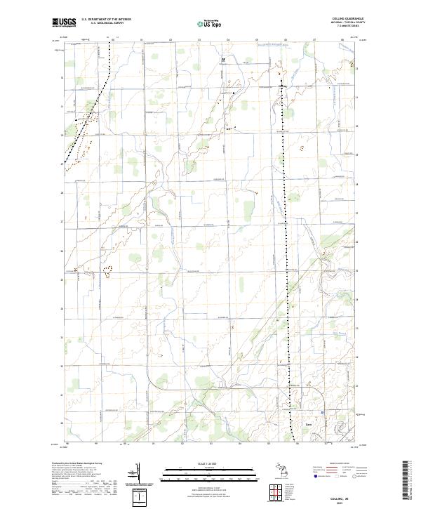
2023 Colling
Tuscola County, MI
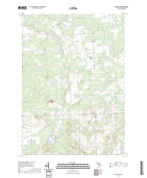
2023 East Dayton
Tuscola County, MI
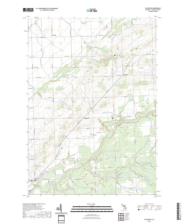
2023 Ellington
Tuscola County, MI
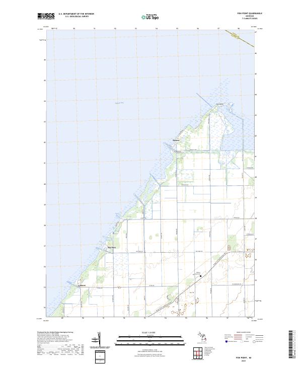
2023 Fish Point
Tuscola County, MI
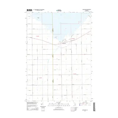
2023 Gilford
Tuscola County, MI
2023 Juniata
Tuscola County, MI
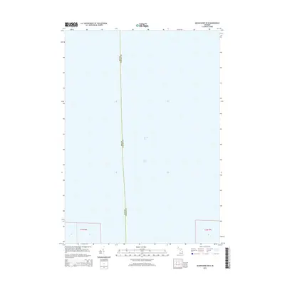
2023 Quanicassee OE N
Tuscola County, MI
2023 Quanicassee
Tuscola County, MI
Featured Locations
- Hampton Township, MI
- Merritt Township, MI
- Wisner Township, MI
- Gilford Township, MI
- Quanicassee, Wisner Township