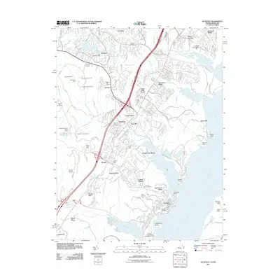
2011 Map of Quantico
USGS Topo · Published 2011About this map
Quantico and the surrounding Prince William County landscape are defined by a mix of military installations and suburban expansion along the Potomac River. The town itself is centered on the Marine Corps University and the Quantico Marine Corps Airfield, situated on a peninsula between the river and Chopawamsic Creek. To the north, the corridor following Interstate 95 and US Route 1 shows the growth of communities like Dumfries, Triangle, and Montclair.
Find a feature on this map
66 named features on this map. Tap any name to fly to it.
Don’t see what you’re looking for? This feature index may not catch every label — zoom into the map to look around manually.
Map Details
Editions of this 2011 Quantico Map
This is the sole edition of this map. No revisions or reprints were ever made.
Other maps of this area

1889 · Fredericksburg
USGS Topo · 1:125,000

1890 · Mt. Vernon
USGS Topo · 1:125,000

1891 · Mt. Vernon
USGS Topo · 1:125,000

1892 · Fredericksburg
USGS Topo · 1:125,000

1894 · Fredericksburg
USGS Topo · 1:125,000

1894 · Mt. Vernon
USGS Topo · 1:125,000

1897 · Mt. Vernon
USGS Topo · 1:125,000

1913 · Indian Head
USGS Topo · 1:62,500

1913 · Nanjemoy
USGS Topo · 1:62,500

1923 · Indian Head
USGS Topo · 1:48,000