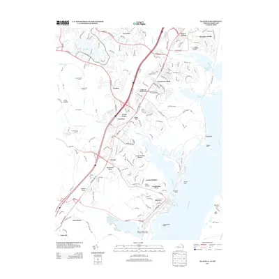
2013 Map of Quantico
USGS Topo · Published 2013About this map
Quantico Marine Corps Base dominates the southern landscape of this coastal Virginia region, where the Potomac River meets the mouths of several major creeks. The modern footprint of the Quantico Marine Corps Airfield / Turner Field sits alongside the town of Quantico, while the older settlements of Dumfries and Triangle serve as inland hubs connected by the Jefferson Davis Hwy corridor. This era shows a densely developed suburban environment, yet the legacy of earlier industry is preserved in place names like Pyrite Mine Rd. Along the shoreline, recreational and logistics points such as Hampton's Landing Marina, Buds Ferry Airport, and Possum Point mark the transition between the water and the rising terrain of Cardinal Heights and Graham Park Shores. The map captures the specialized land use of the area, from the Medal of Honor Golf Course to the H. L. Mooney Water Reclamation Facility.
Find a feature on this map
76 named features on this map. Tap any name to fly to it.
Don’t see what you’re looking for? This feature index may not catch every label — zoom into the map to look around manually.
Map Details
Editions of this 2013 Quantico Map
This is the sole edition of this map. No revisions or reprints were ever made.
Other maps of this area

1889 · Fredericksburg
USGS Topo · 1:125,000

1890 · Mt. Vernon
USGS Topo · 1:125,000

1891 · Mt. Vernon
USGS Topo · 1:125,000

1892 · Fredericksburg
USGS Topo · 1:125,000

1894 · Fredericksburg
USGS Topo · 1:125,000

1894 · Mt. Vernon
USGS Topo · 1:125,000

1897 · Mt. Vernon
USGS Topo · 1:125,000

1913 · Indian Head
USGS Topo · 1:62,500

1913 · Nanjemoy
USGS Topo · 1:62,500

1923 · Indian Head
USGS Topo · 1:48,000