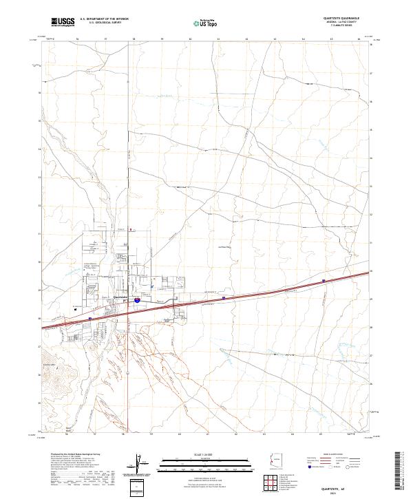
2021 Map of Quartzsite
USGS Topo · Published 2021About this map
Quartzsite serves as the focal point of this desert landscape, situated at the intersection of critical regional routes and surrounded by the expansive La Posa Plain. The town's grid is dense with residential streets and local landmarks, including the Arizona Western College - Quartzsite Learning Center and the notable Hi Jolly Cem. This cemetery commemorates a unique piece of American frontier history, marking the legacy of the experimental camel corps in the Southwest.
Find a feature on this map
75 named features on this map. Tap any name to fly to it.
Don’t see what you’re looking for? This feature index may not catch every label — zoom into the map to look around manually.
Map Details
Editions of this 2021 Quartzsite Map
This is the sole edition of this map. No revisions or reprints were ever made.
Other maps of this area

1930 · Linskey
USGS Topo · 1:62,500

1931 · Moon Mtn
USGS Topo · 1:62,500

1932 · Moon Mtn
USGS Topo · 1:62,500

1933 · Cunningham Mtn
USGS Topo · 1:48,000

1940 · Dome Rock Mts
USGS Topo · 1:62,500

1942 · Blythe
USGS Topo · 1:250,000

1942 · MOON MTN
USGS Topo · 1:62,500

1954 · Salton Sea
USGS Topo · 1:250,000

1955 · Salton Sea
USGS Topo · 1:250,000

1959 · Salton Sea
USGS Topo · 1:250,000