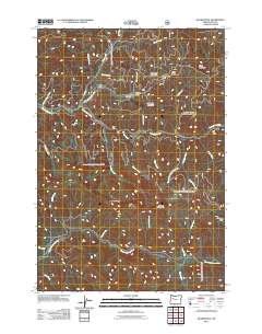
2011 Map of Quartzville
USGS Topo · Published 2011About this map
Quartzville and the Lone Star site anchor this topographical study of the Cascade foothills within the Willamette National Forest. This region is defined by a dense network of watercourses, where Quartzville Creek and its many tributaries, including Cedar Creek and Savage Creek, carve through the complex terrain of Galena Ridge and White Bull Mountain. The southern portion of the map is dominated by the winding path of the Middle Santiam River, which receives flow from high-altitude drainages like Crash Creek and Sixes Creek. The nomenclature of the peaks and passes—such as Red Heifer Pass, Gold Peak, and Chimney Peak—points to the area's history of mineral exploration and rugged wilderness navigation. The presence of Edison Gulch and Dry Gulch further illustrates the varied drainage patterns and geological features of this mountain landscape during the early 21st century.
Find a feature on this map
37 named features on this map. Tap any name to fly to it.
Don’t see what you’re looking for? This feature index may not catch every label — zoom into the map to look around manually.
Map Details
Editions of this 2011 Quartzville Map
This is the sole edition of this map. No revisions or reprints were ever made.
Other maps of this area

1929 · Mill City
USGS Topo · 1:125,000

1934 · Mc Kenzie Bridge
USGS Topo · 1:96,000

1940 · Mc Kenzie Bridge
USGS Topo · 1:125,000

1953 · Salem
USGS Topo · 1:250,000

1954 · Salem
USGS Topo · 1:250,000

1955 · Cascadia
USGS Topo · 1:62,500

1955 · Echo Mountain
USGS Topo · 1:62,500

1956 · Quartzville
USGS Topo · 1:62,500

1956 · Detroit
USGS Topo · 1:62,500

1960 · Salem
USGS Topo · 1:250,000