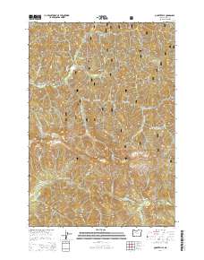
2014 Map of Quartzville
USGS Topo · Published 2014About this map
Quartzville lies at the heart of this mountainous region, situated along the winding course of Quartzville Creek and surrounded by the dense timberlands of the Willamette National Forest. This 2014 survey captures a landscape defined by sharp elevation changes and an intricate drainage system feeding into the Middle Santiam River. The naming conventions of the peaks and ridges, such as Galena Mtn, Galena Ridge, and White Bull Mtn, suggest a legacy of mineral exploration that historically drew settlers to these remote reaches of Linn County.
Find a feature on this map
94 named features on this map. Tap any name to fly to it.
Don’t see what you’re looking for? This feature index may not catch every label — zoom into the map to look around manually.
Map Details
Editions of this 2014 Quartzville Map
This is the sole edition of this map. No revisions or reprints were ever made.
Other maps of this area

1929 · Mill City
USGS Topo · 1:125,000

1934 · Mc Kenzie Bridge
USGS Topo · 1:96,000

1940 · Mc Kenzie Bridge
USGS Topo · 1:125,000

1953 · Salem
USGS Topo · 1:250,000

1954 · Salem
USGS Topo · 1:250,000

1955 · Cascadia
USGS Topo · 1:62,500

1955 · Echo Mountain
USGS Topo · 1:62,500

1956 · Quartzville
USGS Topo · 1:62,500

1956 · Detroit
USGS Topo · 1:62,500

1960 · Salem
USGS Topo · 1:250,000