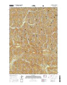
2017 Map of Quartzville
USGS Topo · Published 2017About this map
The settlement of Quartzville sits at the heart of this Linn County landscape, where the Quartzville Creek valley cuts through high ridges within the Willamette National Forest. The map documents a topography dominated by prominent peaks and ridges, including White Bull Mtn, Gold Peak, and the long sweep of Galena Ridge. These names, alongside Red Heifer Mtn and Edison Gulch, reflect the area's prospecting and mining heritage. To the south, the Middle Santiam River flows through a series of steep drainages fed by numerous tributaries such as Elk Cr and Twin Falls Cr. The network of forestry roads, including Quartzville Dr and various National Forest Development Roads, illustrates how the modern timber and recreation economy has overlaid the historical resource-extraction landscape of the Cascades.
Find a feature on this map
55 named features on this map. Tap any name to fly to it.
Don’t see what you’re looking for? This feature index may not catch every label — zoom into the map to look around manually.
Map Details
Editions of this 2017 Quartzville Map
This is the sole edition of this map. No revisions or reprints were ever made.
Other maps of this area

1929 · Mill City
USGS Topo · 1:125,000

1934 · Mc Kenzie Bridge
USGS Topo · 1:96,000

1940 · Mc Kenzie Bridge
USGS Topo · 1:125,000

1953 · Salem
USGS Topo · 1:250,000

1954 · Salem
USGS Topo · 1:250,000

1955 · Cascadia
USGS Topo · 1:62,500

1955 · Echo Mountain
USGS Topo · 1:62,500

1956 · Quartzville
USGS Topo · 1:62,500

1956 · Detroit
USGS Topo · 1:62,500

1960 · Salem
USGS Topo · 1:250,000