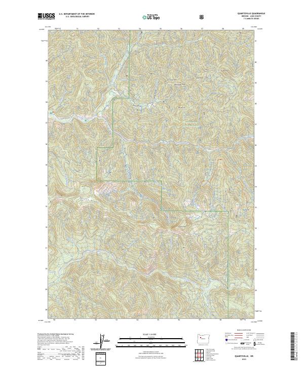
2023 Map of Quartzville
USGS Topo · Published 2023About this map
The Middle Santiam River flows through the southern half of this landscape, marking a terrain defined by the high peaks of the Willamette National Forest. In the northern section, the Quartzville Creek Wild and Scenic River carves a deep path alongside Quartzville Dr, which provides the primary access route into this timbered and mountainous country. The map captures the meeting of several significant watersheds, including Canal Creek, Cedar Creek, and Boulder Creek.
Find a feature on this map
38 named features on this map. Tap any name to fly to it.
Don’t see what you’re looking for? This feature index may not catch every label — zoom into the map to look around manually.
Map Details
Editions of this 2023 Quartzville Map
This is the sole edition of this map. No revisions or reprints were ever made.
Other maps of this area

1929 · Mill City
USGS Topo · 1:125,000

1934 · Mc Kenzie Bridge
USGS Topo · 1:96,000

1940 · Mc Kenzie Bridge
USGS Topo · 1:125,000

1953 · Salem
USGS Topo · 1:250,000

1954 · Salem
USGS Topo · 1:250,000

1955 · Cascadia
USGS Topo · 1:62,500

1955 · Echo Mountain
USGS Topo · 1:62,500

1956 · Quartzville
USGS Topo · 1:62,500

1956 · Detroit
USGS Topo · 1:62,500

1960 · Salem
USGS Topo · 1:250,000