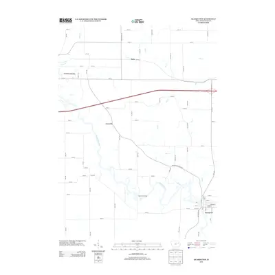
2013 Map of Quasqueton
USGS Topo · Published 2013About this map
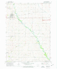
The Wapsipinicon River winds through the heart of this Buchanan County landscape, serving as the defining geographical feature for the town of Quasqueton and the surrounding rural townships. This 2013 survey illustrates the dense grid of county roads that connects dispersed agricultural settlements like Gatesville and Doris, tracing the long-established land divisions of eastern Iowa. A notable landmark for local history is Taylor's Ford Bridge, which marks an essential crossing point over the river. The topography is further shaped by numerous tributaries, including Pine Cr, Dry Cr, and Nash Cr, which drain the undulating farmland into the main river valley. On the western edge, the outskirts of Independence appear, highlighting the transition from the county seat's developed residential streets to the open agricultural expanse defined by long-standing thoroughfares like King Ave and 220th St.
Find a feature on this map
65 named features on this map. Tap any name to fly to it.
Don’t see what you’re looking for? This feature index may not catch every label — zoom into the map to look around manually.
Map Details
Editions of this 2013 Quasqueton Map
This is the sole edition of this map. No revisions or reprints were ever made.
Other maps of this area

1901 · Oelwein
USGS Topo · 1:125,000

1903 · Winthrop
USGS Topo · 1:125,000

1959 · Dubuque
USGS Topo · 1:250,000

1961 · Dubuque
USGS Topo · 1:250,000

1962 · Dubuque
USGS Topo · 1:250,000

1965 · Lamont
USGS Topo · 1:24,000
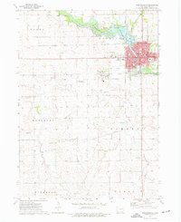
1973 · Independence
USGS Topo · 1:24,000
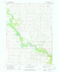
1973 · Troy Mills
USGS Topo · 1:24,000
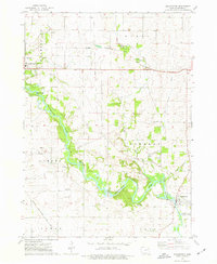
1973 · Quasqueton
USGS Topo · 1:24,000
1973 · Winthrop
USGS Topo · 1:24,000