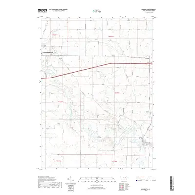
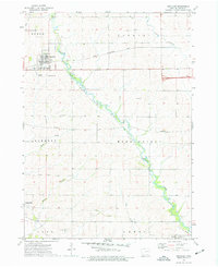
2018 Map of Quasqueton
USGS Topo · Published 2018About this map
The Wapsipinicon River carves a winding path through the heart of Buchanan County, anchoring the riverfront community of Quasqueton and the eastern edge of Independence. This Iowa landscape is defined by its deep agrarian roots and a dense grid of rural roads such as Lee Ave and Racine Ave, which connect long-standing family farms to the nearby settlements of Winthrop and Doris.
Find a feature on this map
66 named features on this map. Tap any name to fly to it.
Don’t see what you’re looking for? This feature index may not catch every label — zoom into the map to look around manually.
Map Details
Editions of this 2018 Quasqueton Map
This is the sole edition of this map. No revisions or reprints were ever made.
Other maps of this area

1901 · Oelwein
USGS Topo · 1:125,000

1903 · Winthrop
USGS Topo · 1:125,000

1959 · Dubuque
USGS Topo · 1:250,000

1961 · Dubuque
USGS Topo · 1:250,000

1962 · Dubuque
USGS Topo · 1:250,000

1965 · Lamont
USGS Topo · 1:24,000
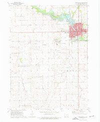
1973 · Independence
USGS Topo · 1:24,000
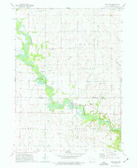
1973 · Troy Mills
USGS Topo · 1:24,000
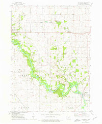
1973 · Quasqueton
USGS Topo · 1:24,000
1973 · Winthrop
USGS Topo · 1:24,000