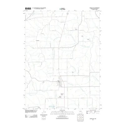
1979 Map of Queen City
USGS Topo · Published 1979About this map
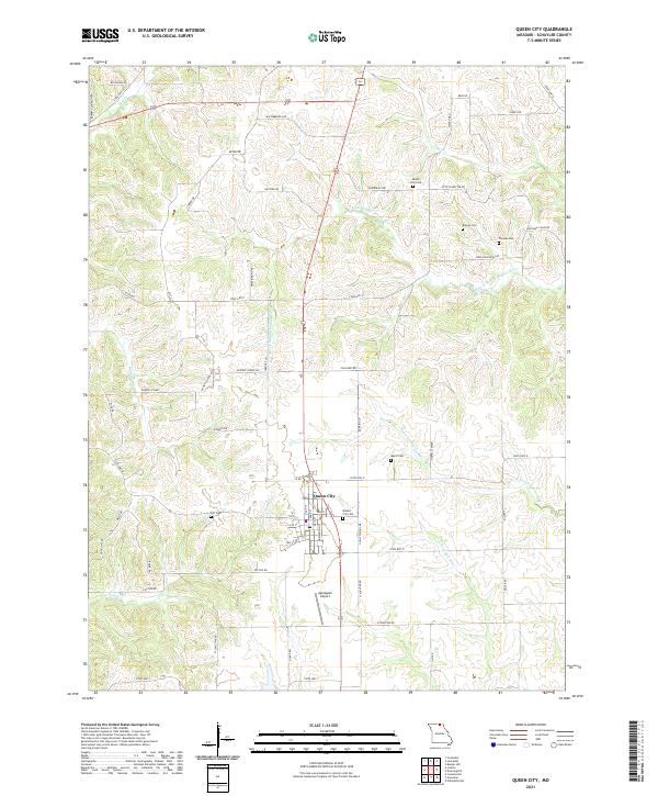
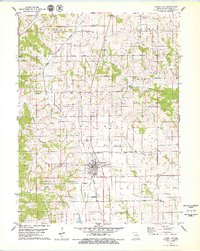
Queen City serves as the central hub of this Schuyler County landscape, situated along the Norfolk and Western railroad line. The map reveals a dense network of local genealogy and community markers, from the Bethel Ch in the northwest to several family and community burial grounds such as Barnes Cem, Thomas Cem, and the New Hope Ch Graves. This 1970s survey illustrates a region defined by its water systems, including the South Fork Middle Fabius River and the North Fork Salt River.
Find a feature on this map
30 named features on this map. Tap any name to fly to it.
Don’t see what you’re looking for? This feature index may not catch every label — zoom into the map to look around manually.
Map Details
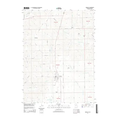
Editions of this 1979 Queen City Map
This is the sole edition of this map. No revisions or reprints were ever made.
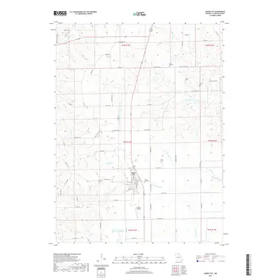
Historical Maps of Queen City Through Time
7 maps found