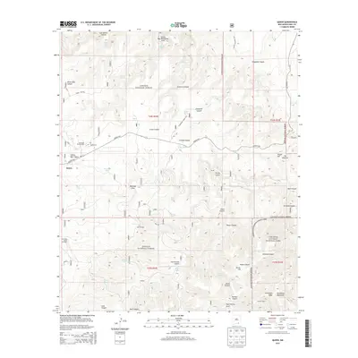
2013 Map of Queen
USGS Topo · Published 2013About this map
Queen sits atop the high desert plateau of the Guadalupe Mountains, serving as a central point in a landscape defined by deep drainages and cattle ranching. The presence of the Corriente Cattle Company and numerous water features like Priest Tank and Cowboy Tank reflects the essential infrastructure required for livestock in this arid environment. To the south, the terrain descends toward Carlsbad Caverns National Park, while much of the surrounding area is managed under the Lincoln National Forest. Significant landmarks for local history include the Queen Cem and Guadalupe Church Camp, located just off the Queens Hwy. Hidden within the canyons, seasonal water sources such as Sitting Bull Falls and Horse Spring provided critical refuge for travelers and residents alike, while the Kite Windmill stands as a testament to the region's reliance on wind-pumped groundwater.
Find a feature on this map
55 named features on this map. Tap any name to fly to it.
Don’t see what you’re looking for? This feature index may not catch every label — zoom into the map to look around manually.
Map Details
Editions of this 2013 Queen Map
This is the sole edition of this map. No revisions or reprints were ever made.
Other maps of this area

1935 · El Paso Gap
USGS Topo · 1:62,500

1936 · El Paso Gap
USGS Topo · 1:48,000

1940 · El Paso Gap
USGS Topo · 1:62,500

1940 · Bandanna Point
USGS Topo · 1:62,500

1940 · Carlsbad Caverns West
USGS Topo · 1:62,500

1943 · Carlsbad Caverns West
USGS Topo · 1:62,500

1943 · Bandanna Point
USGS Topo · 1:62,500

1943 · Texas Hill
USGS Topo · 1:62,500

1945 · Texas Hill
USGS Topo · 1:62,500

1954 · Carlsbad
USGS Topo · 1:250,000