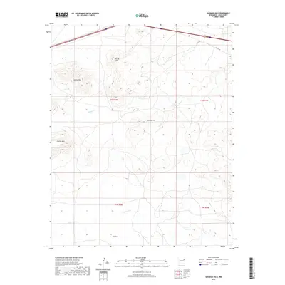
2020 Map of Quemado Hills
USGS Topo · Published 2020About this map
Quemado Hills and the surrounding mesas dominate this portion of Quay County, illustrating the transition from high plateaus to the flatlands of Ogle Flat in the south. The landscape is defined by its drainage patterns, with Blanca Cr and Charco Cr cutting through the terrain toward the larger Plaza Larga Cr. The northern edge of the map preserves a section of the historic Rte 66 corridor, running parallel to modern transit routes and providing a clear look at the transportation infrastructure that has long connected this part of New Mexico. Significant elevation features like Palomas Mesa, Palomas Hills, and Mesa del Puerta provide clear landmarks for researchers studying the geographic layout of the Llano Estacado's northwestern reaches.
Find a feature on this map
15 named features on this map. Tap any name to fly to it.
Don’t see what you’re looking for? This feature index may not catch every label — zoom into the map to look around manually.
Map Details
Editions of this 2020 Quemado Hills Map
This is the sole edition of this map. No revisions or reprints were ever made.
Other maps of this area

1930 · Tucumcari
USGS Topo · 1:125,000

1954 · Santa Fe
USGS Topo · 1:250,000

1954 · Fort Sumner
USGS Topo · 1:250,000

1954 · Tucumcari
USGS Topo · 1:250,000

1954 · Clovis
USGS Topo · 1:250,000

1958 · Fort Sumner
USGS Topo · 1:250,000

1958 · Santa Fe
USGS Topo · 1:250,000

1958 · Clovis
USGS Topo · 1:250,000

1958 · Tucumcari
USGS Topo · 1:250,000

1964 · Muniz Canyon
USGS Topo · 1:24,000