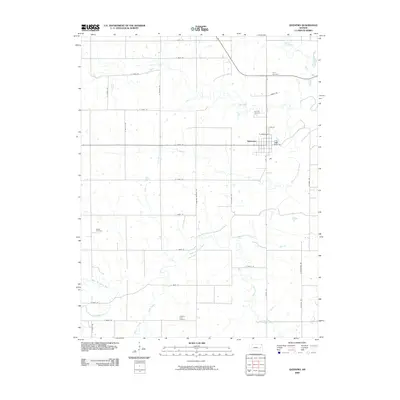
2009 Map of Quenemo
USGS Topo · Published 2009About this map
Quenemo is positioned near the junction of several significant watercourses, most notably the winding Marais des Cygnes River. The town's local grid is defined by streets like E Maple St and E Walnut St, while the surrounding rural landscape is divided by a systematic network of section roads such as S Shawnee Heights Rd and S Ratner Rd. This area of Osage County is marked by a high density of small family and community burial grounds, including Oak Hill Cemetery, Curry Cemetery, Sutton Cemetery, and Pleasant View Cemetery, which serve as vital touchstones for genealogical research.
Find a feature on this map
39 named features on this map. Tap any name to fly to it.
Don’t see what you’re looking for? This feature index may not catch every label — zoom into the map to look around manually.
Map Details
Editions of this 2009 Quenemo Map
This is the sole edition of this map. No revisions or reprints were ever made.
Other maps of this area

1885 · Burlington
USGS Topo · 1:125,000

1885 · Garnett
USGS Topo · 1:125,000

1885 · Lawrence
USGS Topo · 1:125,000

1889 · Burlingame
USGS Topo · 1:125,000

1889 · Lawrence
USGS Topo · 1:125,000

1894 · Garnett
USGS Topo · 1:125,000

1894 · Burlingame
USGS Topo · 1:125,000

1894 · Burlington
USGS Topo · 1:125,000

1947 · Lawrence
USGS Topo · 1:250,000

1950 · Lawrence
USGS Topo · 1:250,000