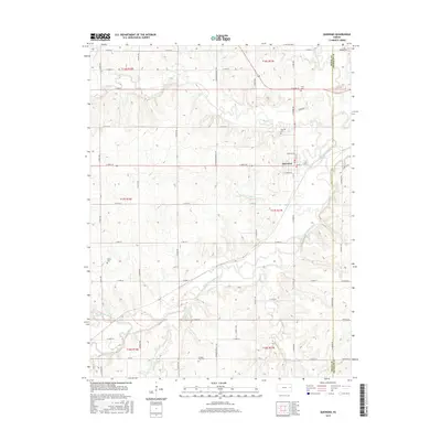
2015 Map of Quenemo
USGS Topo · Published 2015About this map
The Marais des Cygnes River meanders through the central and southern portions of this landscape, defining the topography of Osage County. The settlement of Quenemo is situated in the northeastern quadrant, where a grid of streets including E Maple St and W Poplar St marks the town center near the riverbanks. The surrounding terrain is heavily dissected by several waterways, notably Salt Creek and Hundred and Ten Mile Creek to the north, and Long Creek to the south. For those researching local families, the map identifies several rural burial sites, including Curry Cemetery, Oak Hill Cemetery, Sutton Cemetery, and Pleasant View Cemetery. This document illustrates the contemporary rural road network, with numbered section lines like S Ratner Rd and E 269th St providing access across the agricultural and riverine landscape.
Find a feature on this map
55 named features on this map. Tap any name to fly to it.
Don’t see what you’re looking for? This feature index may not catch every label — zoom into the map to look around manually.
Map Details
Editions of this 2015 Quenemo Map
This is the sole edition of this map. No revisions or reprints were ever made.
Other maps of this area

1885 · Burlington
USGS Topo · 1:125,000

1885 · Garnett
USGS Topo · 1:125,000

1885 · Lawrence
USGS Topo · 1:125,000

1889 · Burlingame
USGS Topo · 1:125,000

1889 · Lawrence
USGS Topo · 1:125,000

1894 · Garnett
USGS Topo · 1:125,000

1894 · Burlingame
USGS Topo · 1:125,000

1894 · Burlington
USGS Topo · 1:125,000

1947 · Lawrence
USGS Topo · 1:250,000

1950 · Lawrence
USGS Topo · 1:250,000