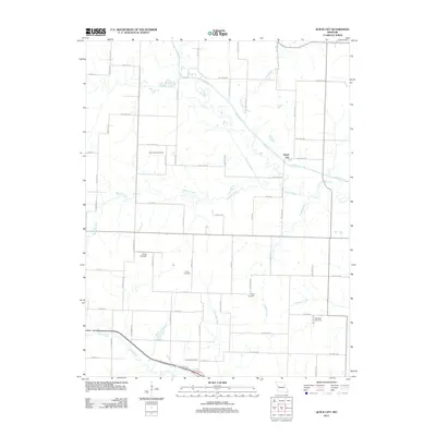
2011 Map of Quick City
USGS Topo · Published 2011About this map
Quick City serves as the primary focal point in this rural Missouri landscape, situated near the confluence of several significant watercourses. The drainage patterns of the region are dominated by Big Creek, which is joined by tributaries such as Panther Creek and Scaly Bark Creek. An interesting hydrological detail is the Old Channel Big Creek, indicating where the waterway has been altered or naturally shifted over time.
Find a feature on this map
64 named features on this map. Tap any name to fly to it.
Don’t see what you’re looking for? This feature index may not catch every label — zoom into the map to look around manually.
Map Details
Editions of this 2011 Quick City Map
This is the sole edition of this map. No revisions or reprints were ever made.
Other maps of this area

1885 · Warrensburg
USGS Topo · 1:125,000

1887 · Clinton
USGS Topo · 1:125,000

1887 · Harrisonville
USGS Topo · 1:125,000

1887 · Butler
USGS Topo · 1:125,000

1887 · Warrensburg
USGS Topo · 1:125,000

1892 · Harrisonville
USGS Topo · 1:125,000

1894 · Harrisonville
USGS Topo · 1:125,000

1894 · Butler
USGS Topo · 1:125,000

1894 · Warrensburg
USGS Topo · 1:125,000

1894 · Clinton
USGS Topo · 1:125,000