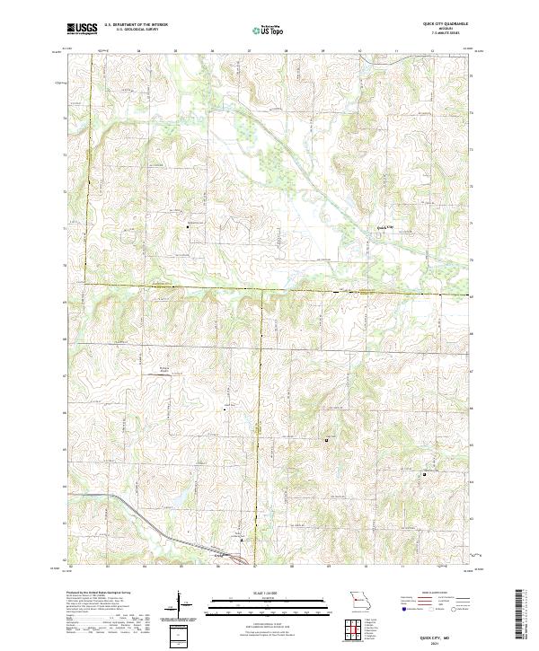
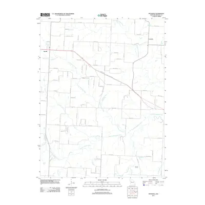
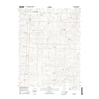
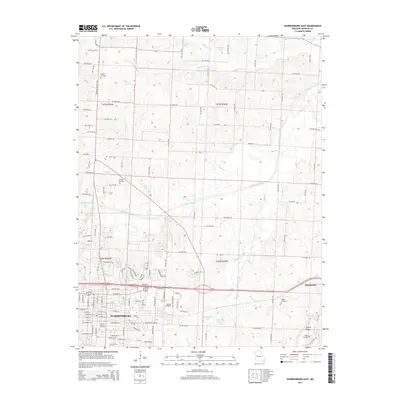
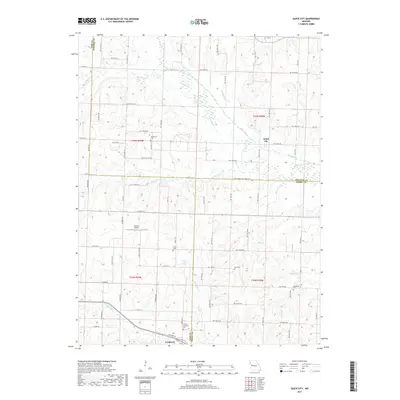
2021 Map of Quick City
USGS Topo · Published 2021About this map
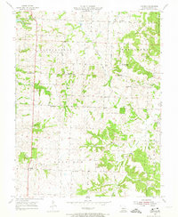
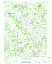
Quick City and the neighboring settlement of Creighton sit at the intersection of Johnson, Cass, and Henry counties, defining a landscape shaped by the winding drainage of the Big Creek basin. The area is characterized by a dense network of country roads, such as SW 1200th Rd and NW 1000th Rd, which connect several family-named landmarks and local burial sites. Of particular interest to local historians are the Pemberton Cem, Grant Cem, and Hendricks Cem, along with the Trinity Lutheran Cem near the southern boundary. The topography reveals the natural hydrology of the region through features like Little Walnut Creek and Bogard Creek, including an Old Channel of Big Creek. Aviation history is represented by the Flying G Airport located south of the county line, while the overall pattern of land division reflects the agricultural heritage of this Missouri borderland.
Find a feature on this map
81 named features on this map. Tap any name to fly to it.
Don’t see what you’re looking for? This feature index may not catch every label — zoom into the map to look around manually.
Map Details
Editions of this 2021 Quick City Map
This is the sole edition of this map. No revisions or reprints were ever made.
Historical Maps of Creighton Through Time
36 maps found
1917 Knobnoster
Johnson County, MO
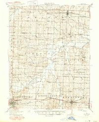
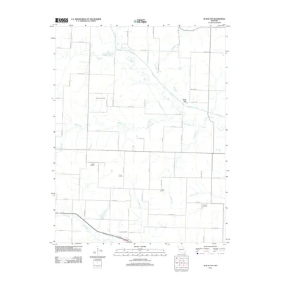
1954 Quick City
Johnson County, MO
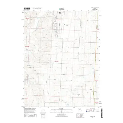
1955 Burtville
Johnson County, MO
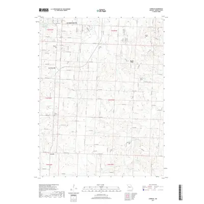
1955 Cornelia
Johnson County, MO
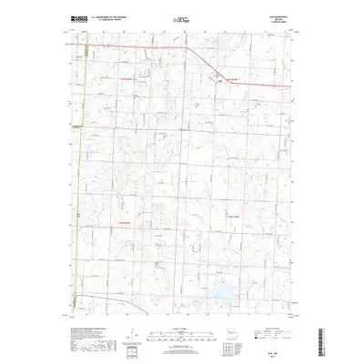
1962 Elm
Johnson County, MO
1962 Warrensburg East
Johnson County, MO
1962 Warrensburg West
Johnson County, MO
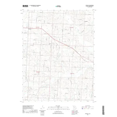
1963 Pittsville
Johnson County, MO
2011 Burtville
Johnson County, MO
2011 Cornelia
Johnson County, MO
2011 Elm
Johnson County, MO
2011 Pittsville
Johnson County, MO
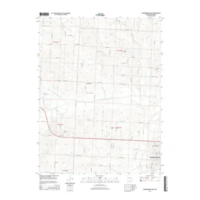
2011 Quick City
Johnson County, MO
2011 Warrensburg East
Johnson County, MO
2011 Warrensburg West
Johnson County, MO
2014 Cornelia
Johnson County, MO
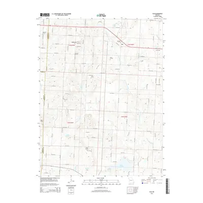
2014 Elm
Johnson County, MO
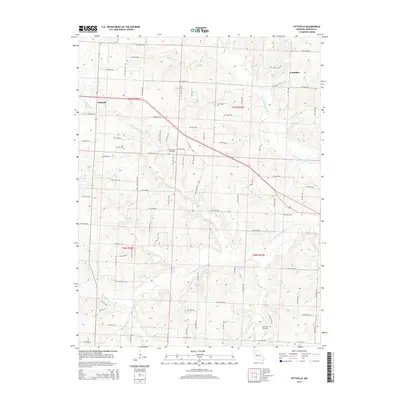
2014 Pittsville
Johnson County, MO
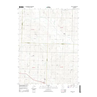
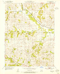
2014 Quick City
Johnson County, MO
2014 Warrensburg East
Johnson County, MO
2014 Warrensburg West
Johnson County, MO
2015 Burtville
Johnson County, MO
2017 Burtville
Johnson County, MO
2017 Cornelia
Johnson County, MO
2017 Elm
Johnson County, MO
2017 Pittsville
Johnson County, MO
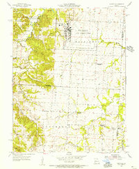
2017 Quick City
Johnson County, MO
2017 Warrensburg East
Johnson County, MO
2017 Warrensburg West
Johnson County, MO
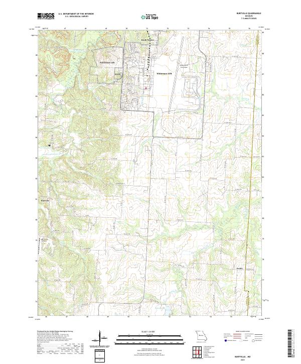
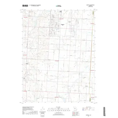
2021 Burtville
Johnson County, MO
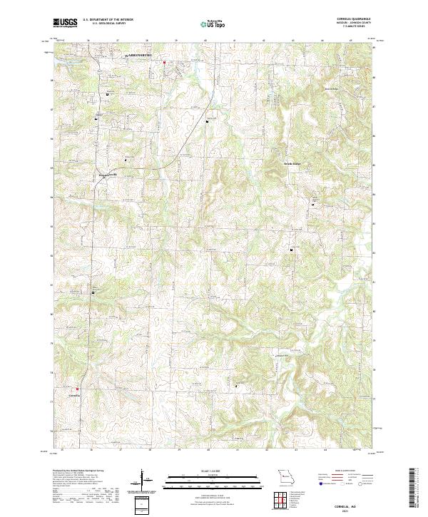
2021 Cornelia
Johnson County, MO
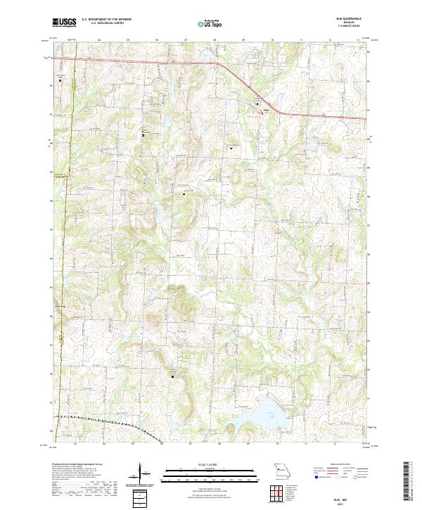
2021 Elm
Johnson County, MO
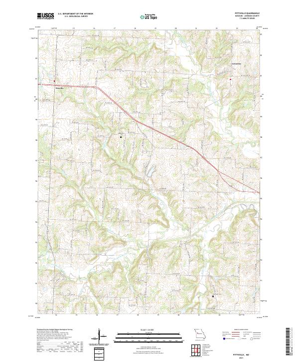
2021 Pittsville
Johnson County, MO
2021 Quick City
Johnson County, MO
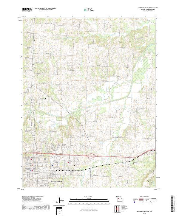
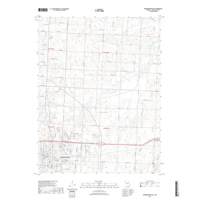
2021 Warrensburg East
Johnson County, MO
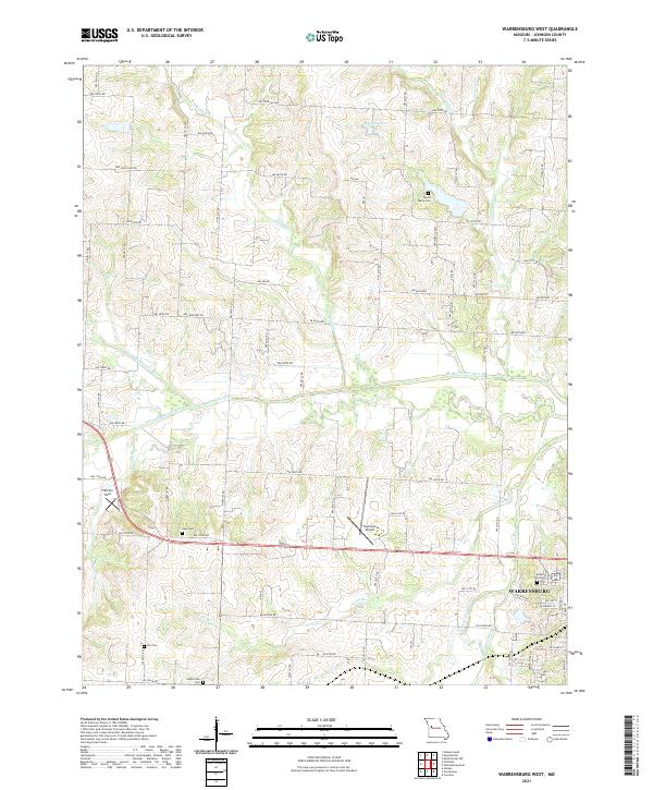
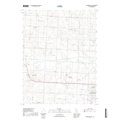
2021 Warrensburg West
Johnson County, MO