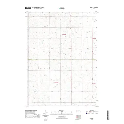
2018 Map of Quimby SE
USGS Topo · Published 2018About this map
The northern edge of Holstein anchors this landscape at the intersection of the Cherokee and Ida County line. This agricultural region is defined by a rigorous grid of section-line roads, including Silver Sioux Rd and German Ave, which traverse the undulating terrain drained by Silver Cr and Fourmile Cr. The map captures the rural community infrastructure of the late 2010s, where traditional burial grounds like Silver Cem and Holstein Cem remain as permanent landmarks amid the shifting cycles of Iowa corn and soybean fields. The intricate contour lines reveal the subtle drainage patterns of smaller tributaries such as Ashton Cr and Hay Run as they carve through the high prairie before reaching the larger creek valleys.
Find a feature on this map
37 named features on this map. Tap any name to fly to it.
Don’t see what you’re looking for? This feature index may not catch every label — zoom into the map to look around manually.
Map Details
Editions of this 2018 Quimby SE Map
This is the sole edition of this map. No revisions or reprints were ever made.
Other maps of this area

1954 · Fort Dodge
USGS Topo · 1:250,000

1957 · Fort Dodge
USGS Topo · 1:250,000

1958 · Fort Dodge
USGS Topo · 1:250,000

1967 · Holstein
USGS Topo · 1:24,000

1967 · Ida Grove NW
USGS Topo · 1:24,000

1969 · Aurelia
USGS Topo · 1:24,000

1969 · Cherokee South
USGS Topo · 1:24,000

1969 · Galva
USGS Topo · 1:24,000

1969 · Cushing
USGS Topo · 1:24,000

1969 · Quimby SE
USGS Topo · 1:24,000