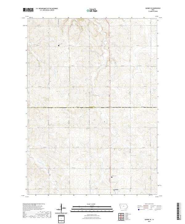
2022 Map of Quimby SE
USGS Topo · Published 2022About this map
Holstein serves as the primary settlement center at the southern edge of this West Central Iowa landscape, situated along the border of Ida and Cherokee Counties. The area is defined by a rhythmic drainage pattern where Fourmile Cr, Silver Cr, and Ashton Cr carve through the agricultural uplands. This survey highlights the intersection of rural life and transit, anchored by the Holstein Cem and Silver Cem, which offer significant touchpoints for local genealogical research. The land is organized by a precise grid of section lines and county roads such as Co Hwy M25 and Co Rd D15, reflecting the enduring Public Land Survey System structure that has governed this farming region for generations. Small water features like Hay Run further break the terrain, illustrating the local hydrology that supports the surrounding farmsteads.
Find a feature on this map
24 named features on this map. Tap any name to fly to it.
Don’t see what you’re looking for? This feature index may not catch every label — zoom into the map to look around manually.
Map Details
Editions of this 2022 Quimby SE Map
This is the sole edition of this map. No revisions or reprints were ever made.
Other maps of this area

1954 · Fort Dodge
USGS Topo · 1:250,000

1957 · Fort Dodge
USGS Topo · 1:250,000

1958 · Fort Dodge
USGS Topo · 1:250,000

1967 · Holstein
USGS Topo · 1:24,000

1967 · Ida Grove NW
USGS Topo · 1:24,000

1969 · Aurelia
USGS Topo · 1:24,000

1969 · Cherokee South
USGS Topo · 1:24,000

1969 · Galva
USGS Topo · 1:24,000

1969 · Cushing
USGS Topo · 1:24,000

1969 · Quimby SE
USGS Topo · 1:24,000