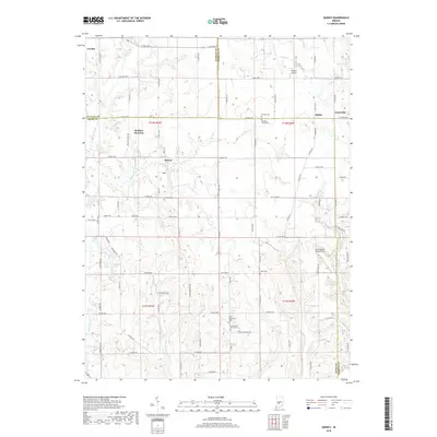
2019 Map of Quincy
USGS Topo · Published 2019About this map
Wallace Junction serves as a focal point for this rural Indiana landscape, where the confluence of rail lines and country roads defines the local geography. Situated along the borders of Putnam, Morgan, and Owen counties, the area is characterized by a network of small settlements such as Quincy, Alaska, and Lewisville. The map reveals a deeply rooted community structure, evidenced by numerous historical burial grounds including Mannan Cem, Combes Cem, and Asher Cem.
Find a feature on this map
95 named features on this map. Tap any name to fly to it.
Don’t see what you’re looking for? This feature index may not catch every label — zoom into the map to look around manually.
Map Details
Editions of this 2019 Quincy Map
This is the sole edition of this map. No revisions or reprints were ever made.
Other maps of this area

1947 · Gosport
USGS Topo · 1:24,000

1949 · Quincy
USGS Topo · 1:24,000

1950 · Gosport
USGS Topo · 1:24,000

1953 · Indianapolis
USGS Topo · 1:250,000

1955 · Hall
USGS Topo · 1:24,000

1956 · Indianapolis
USGS Topo · 1:250,000

1956 · Cloverdale
USGS Topo · 1:24,000

1956 · Cataract
USGS Topo · 1:24,000

1956 · Eminence
USGS Topo · 1:24,000
1956 · Spencer
USGS Topo · 1:24,000