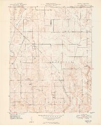
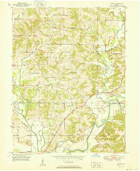
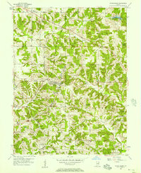
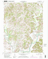
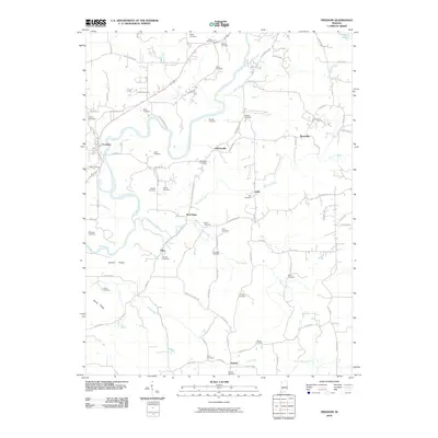
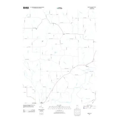
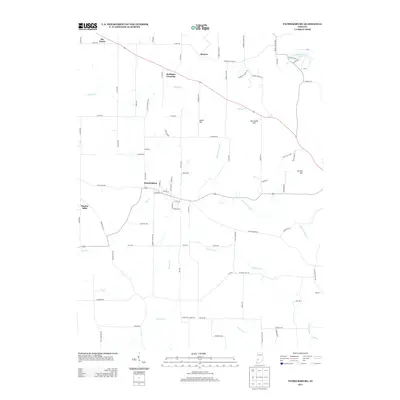
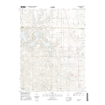
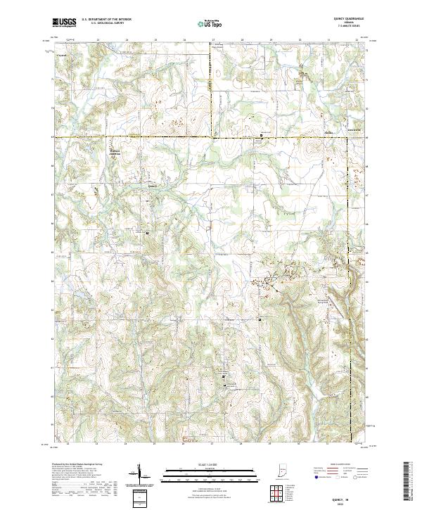
1949 Map of Quincy
USGS Topo · Published 1949About this map
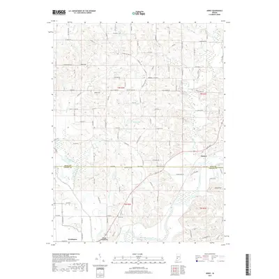
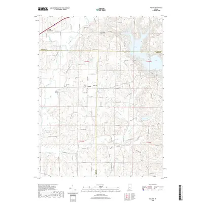
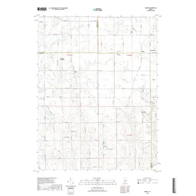
Quincy stands as the central hub of this agricultural landscape in the late 1940s, situated where the Chicago Indianapolis And Louisville railroad navigates the drainages of Brush Creek and Mill Creek. The settlement pattern follows a grid of rural roads punctuated by numerous country churches such as Smyrna Ch, Amity Ch, and Montgomery Chapel. A significant rail junction is found at Wallace Jct, where two lines of the Monon Route converge near the Putnam and Owen County line. Local geology is evidenced by features like Spring Cave and Rogers Cave, while the community’s social fabric is recorded through several rural schoolhouses and family-named cemeteries including Mannon Cem and Combs Cem. The map provides a detailed view of these small unincorporated settlements, including Alaska and Lewisville, during a period of steady post-war rural life.
Find a feature on this map
36 named features on this map. Tap any name to fly to it.
Don’t see what you’re looking for? This feature index may not catch every label — zoom into the map to look around manually.
Map Details
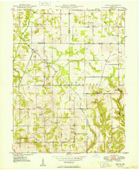
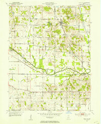
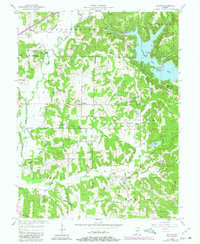
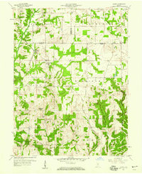
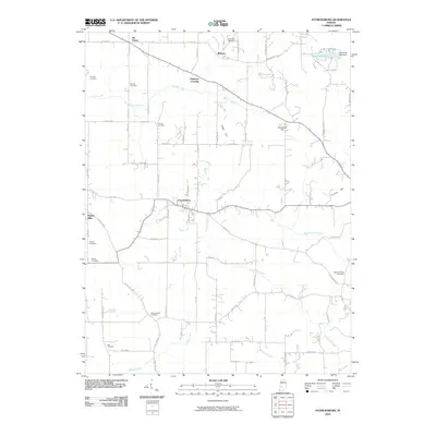
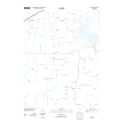
Editions of this 1949 Quincy Map
2 editions found
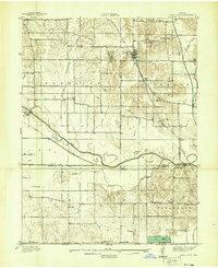
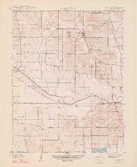
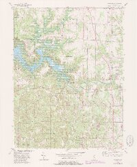
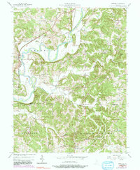
Historical Maps of Alaska Through Time
47 maps found
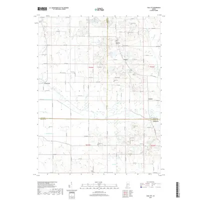
1938 Coal City
Owen County, IN
1948 Coal City
Owen County, IN
1949 Quincy
Owen County, IN
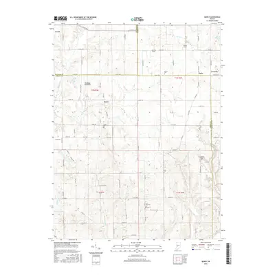
1950 Arney
Owen County, IN
1953 Coal City
Owen County, IN
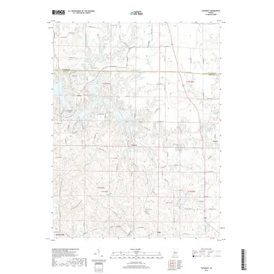
1956 Cataract
Owen County, IN
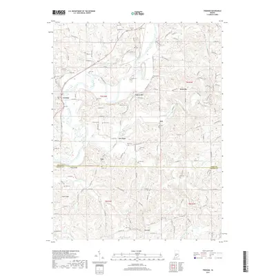
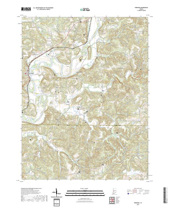
1956 Freedom
Owen County, IN
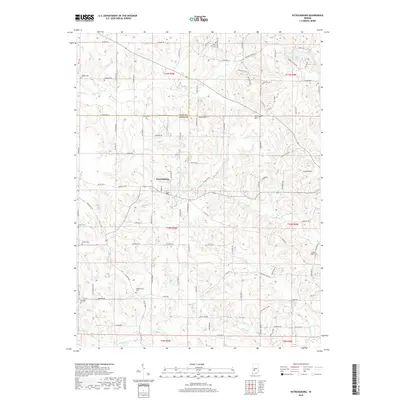
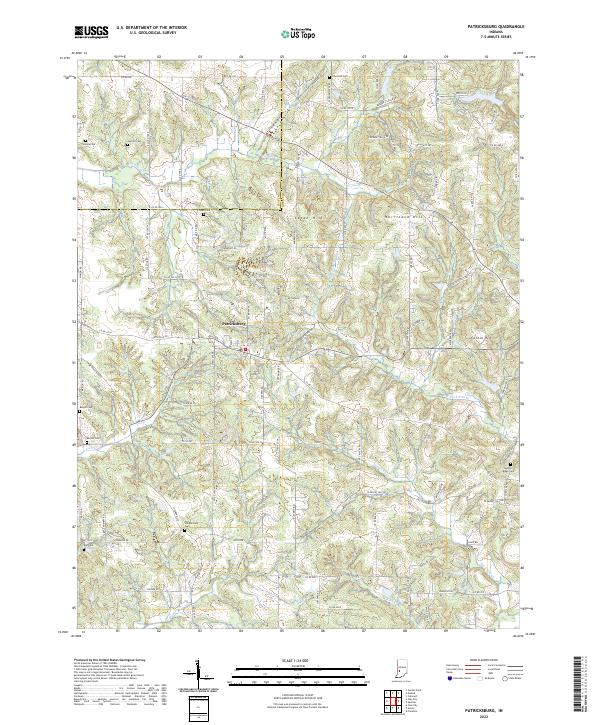
1956 Patricksburg
Owen County, IN
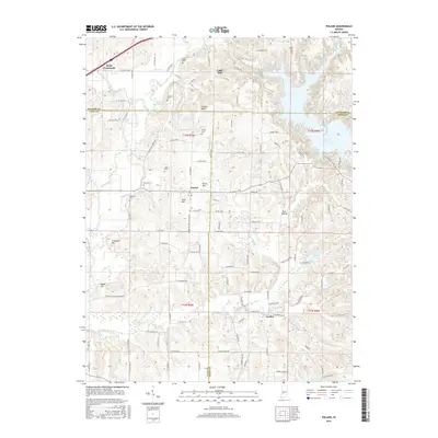
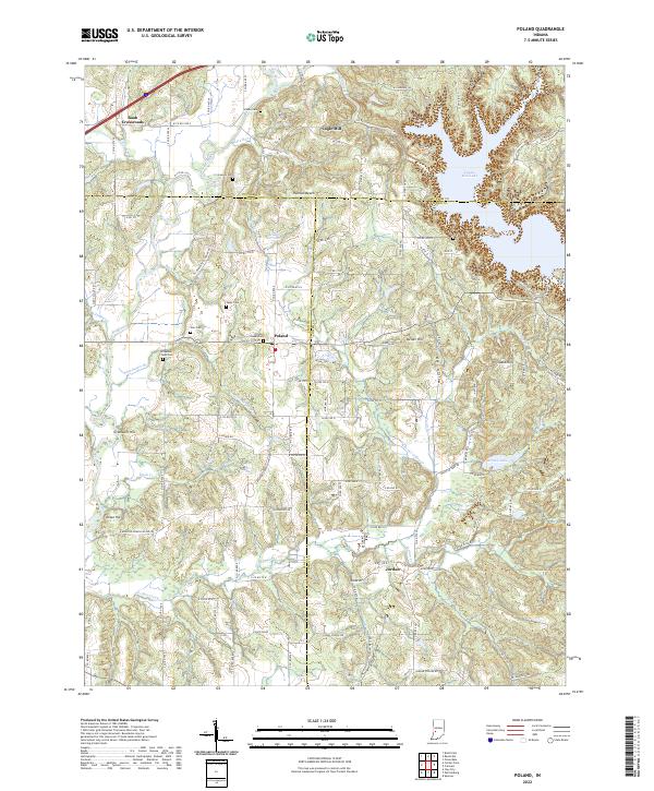
1957 Poland
Owen County, IN
1958 Quincy
Owen County, IN
1963 Coal City
Owen County, IN
1966 Arney
Owen County, IN
2010 Arney
Owen County, IN
2010 Cataract
Owen County, IN
2010 Coal City
Owen County, IN
2010 Freedom
Owen County, IN
2010 Patricksburg
Owen County, IN
2010 Poland
Owen County, IN
2010 Quincy
Owen County, IN
2013 Arney
Owen County, IN
2013 Cataract
Owen County, IN
2013 Coal City
Owen County, IN
2013 Freedom
Owen County, IN
2013 Patricksburg
Owen County, IN
2013 Poland
Owen County, IN
2013 Quincy
Owen County, IN
2016 Arney
Owen County, IN
2016 Cataract
Owen County, IN
2016 Coal City
Owen County, IN
2016 Freedom
Owen County, IN
2016 Patricksburg
Owen County, IN
2016 Poland
Owen County, IN
2016 Quincy
Owen County, IN
2019 Arney
Owen County, IN
2019 Cataract
Owen County, IN
2019 Coal City
Owen County, IN
2019 Freedom
Owen County, IN
2019 Patricksburg
Owen County, IN
2019 Poland
Owen County, IN
2019 Quincy
Owen County, IN
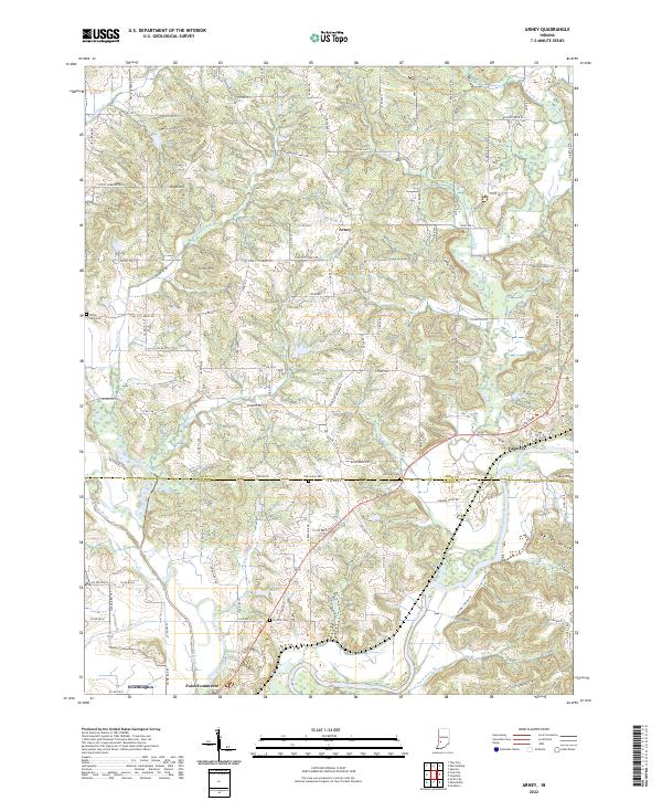
2022 Arney
Owen County, IN
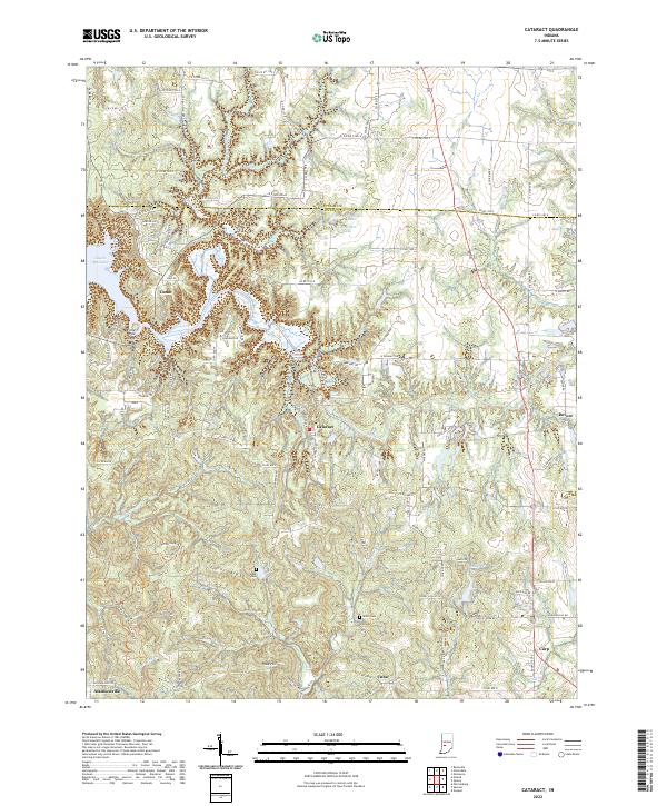
2022 Cataract
Owen County, IN
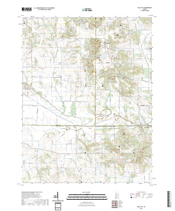
2022 Coal City
Owen County, IN
2022 Freedom
Owen County, IN
2022 Patricksburg
Owen County, IN
2022 Poland
Owen County, IN
2022 Quincy
Owen County, IN