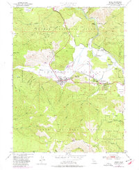
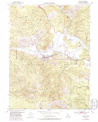
1950 Map of Quincy
USGS Topo · Published 1977About this map
American Valley serves as the central focus of this 1950s era survey, where the town of Quincy and nearby East Quincy sit at the intersection of mountain geography and local industry. The map captures the infrastructure of the Plumas County seat, including the County Hospital, Gansner Airport, and the County Fairground. To the north, the landscape reveals the legacy of the Gold Rush through features like the Imperial Mine, Newtown Mine, and the Hungarian Placer Mine. Small settlements like Newtown and Elizabethtown flank the Spanish Creek drainage, while the higher elevations of the Plumas National Forest rise sharply to the south, where peaks like Claremont tower over the Feather River experimental grounds. These mountain slopes are marked by numerous ravines and creeks, such as Dublin Jack Ravine and Boyle Ravine, which defined the difficult routes for early prospectors and settlers.
Find a feature on this map
70 named features on this map. Tap any name to fly to it.
Don’t see what you’re looking for? This feature index may not catch every label — zoom into the map to look around manually.
Map Details
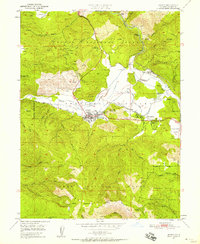
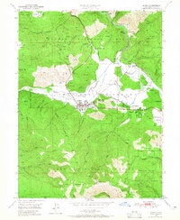
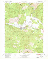
Editions of this 1950 Quincy Map
5 editions found
Other maps of this area

1886 · Honey Lake
USGS Topo · 1:250,000

1886 · Lassen Peak
USGS Topo · 1:250,000

1888 · Bidwell Bar
USGS Topo · 1:125,000

1891 · Bidwell Bar
USGS Topo · 1:125,000

1891 · Downieville
USGS Topo · 1:125,000

1891 · Honey Lake
USGS Topo · 1:250,000

1892 · Lassen Peak
USGS Topo · 1:250,000

1893 · Bidwell Bar
USGS Topo · 1:125,000

1893 · Honey Lake
USGS Topo · 1:250,000

1893 · Downieville
USGS Topo · 1:125,000