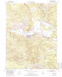
1950 Map of Quincy
USGS Topo · Published 1986About this map
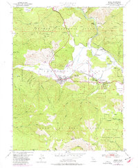
American Valley serves as the central hub for this mid-century survey of the northern Sierra Nevada, anchored by the settlement of Quincy and its eastern neighbor, East Quincy. The landscape reveals a complex layer of civic and industrial activity, from the County Hospital and County Fairground to the specialized operations at the U.S. Agriculture Experiment Sta. The Western Pacific Railroad snakes through the valley, providing a vital transport link for the local timber and mining economies, evidenced by the presence of the Cedar Mill and the Hungarian Placer Mine. To the north, the small settlement of Newtown sits near the Newtown Mine, while the surrounding terrain is dominated by the steep ridges of the Plumas National Forest. The map also preserves the location of the Indian Cemetery and County Cemetery, providing valuable data for genealogical research in this mountain region.
Find a feature on this map
58 named features on this map. Tap any name to fly to it.
Don’t see what you’re looking for? This feature index may not catch every label — zoom into the map to look around manually.
Map Details
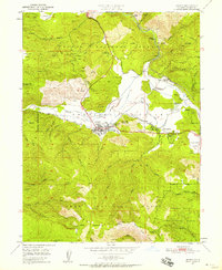
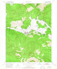
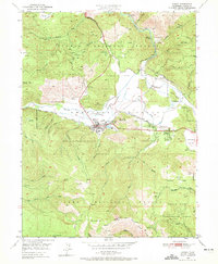
Editions of this 1950 Quincy Map
5 editions found
Other maps of this area

1886 · Honey Lake
USGS Topo · 1:250,000

1886 · Lassen Peak
USGS Topo · 1:250,000

1888 · Bidwell Bar
USGS Topo · 1:125,000

1891 · Bidwell Bar
USGS Topo · 1:125,000

1891 · Downieville
USGS Topo · 1:125,000

1891 · Honey Lake
USGS Topo · 1:250,000

1892 · Lassen Peak
USGS Topo · 1:250,000

1893 · Bidwell Bar
USGS Topo · 1:125,000

1893 · Honey Lake
USGS Topo · 1:250,000

1893 · Downieville
USGS Topo · 1:125,000