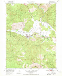
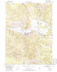
1950 Map of Quincy
USGS Topo · Published 1972About this map
Quincy serves as the hub of the American Valley during this mid-century period, showing a community structured around the Western Pacific Railroad and regional services. The town site includes the County Fairground, Gansner Airport, and High Sch, while the surrounding slopes of the Plumas National Forest are marked by the legacy of resource extraction. Local industry is represented by the Cedar Mill and the Sawmill on Mill Creek, alongside several mining operations such as the Imperial Mine and Newtown Mine. To the east, East Quincy and the Thompson Valley appear as expanding residential and agricultural areas. The cultural landscape is further defined by the Pioneer Sch, an Indian Cemetery, and the U.S. Agriculture Experiment Sta, reflecting a diverse history of land use and settlement in the Sierra Nevada foothills.
Find a feature on this map
67 named features on this map. Tap any name to fly to it.
Don’t see what you’re looking for? This feature index may not catch every label — zoom into the map to look around manually.
Map Details
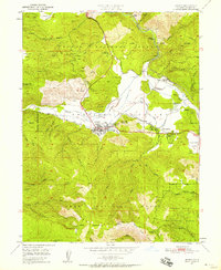
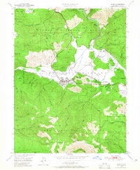
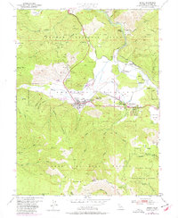
Editions of this 1950 Quincy Map
5 editions found
Other maps of this area

1886 · Honey Lake
USGS Topo · 1:250,000

1886 · Lassen Peak
USGS Topo · 1:250,000

1888 · Bidwell Bar
USGS Topo · 1:125,000

1891 · Bidwell Bar
USGS Topo · 1:125,000

1891 · Downieville
USGS Topo · 1:125,000

1891 · Honey Lake
USGS Topo · 1:250,000

1892 · Lassen Peak
USGS Topo · 1:250,000

1893 · Bidwell Bar
USGS Topo · 1:125,000

1893 · Honey Lake
USGS Topo · 1:250,000

1893 · Downieville
USGS Topo · 1:125,000