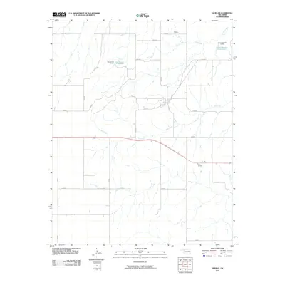
2010 Map of Quinlan
USGS Topo · Published 2010About this map
The rolling plains of Woodward County are defined by a network of drainage systems and agricultural water management projects in this early twenty-first-century survey. West Creek serves as a central waterway, meandering through a landscape largely organized by the section-line grid of roads like n2210 RD and e0390 RD. The map documents the local engineering of the land through features such as the Kee Number 2 Dam and its associated Kee Number 2 Reservoir, alongside the Johnson Number 2b Reservoir to the northeast.
Find a feature on this map
31 named features on this map. Tap any name to fly to it.
Don’t see what you’re looking for? This feature index may not catch every label — zoom into the map to look around manually.
Map Details
Editions of this 2010 Quinlan Map
This is the sole edition of this map. No revisions or reprints were ever made.
Other maps of this area

1955 · Woodward
USGS Topo · 1:250,000

1958 · Woodward
USGS Topo · 1:250,000

1969 · Mooreland SE
USGS Topo · 1:24,000

1969 · Belva
USGS Topo · 1:24,000

1969 · Quinlan
USGS Topo · 1:24,000

1969 · Mooreland
USGS Topo · 1:24,000

1969 · Cedardale
USGS Topo · 1:24,000

1969 · Waynoka West
USGS Topo · 1:24,000

1969 · Mooreland SW
USGS Topo · 1:24,000

1970 · Fairvalley SW
USGS Topo · 1:24,000