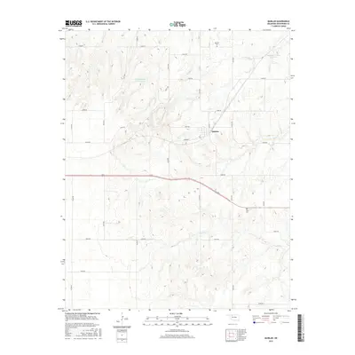
2016 Map of Quinlan
USGS Topo · Published 2016About this map
Quinlan sits at the convergence of a grid-iron road network in Woodward County, centered near the junction of Main St and E0385 Rd. This rural landscape is defined by its water management and agricultural layout, featuring several named tributaries and artificial impoundments. The terrain is drained by Cuddy Cr, West Cr, and Ewers Cr, which meander through the prairie landscape. Local land use is further marked by the Kee Number 2 Reservoir and Johnson Number 2b Reservoir, indicating the importance of water storage for this region of Oklahoma. For those tracing local history or family lineage, the presence of Red Top Cem to the north and Union Cem to the southeast provides essential geographical anchors for the community's early twentieth-century roots.
Find a feature on this map
29 named features on this map. Tap any name to fly to it.
Don’t see what you’re looking for? This feature index may not catch every label — zoom into the map to look around manually.
Map Details
Editions of this 2016 Quinlan Map
This is the sole edition of this map. No revisions or reprints were ever made.
Other maps of this area

1955 · Woodward
USGS Topo · 1:250,000

1958 · Woodward
USGS Topo · 1:250,000

1969 · Mooreland SE
USGS Topo · 1:24,000

1969 · Belva
USGS Topo · 1:24,000

1969 · Quinlan
USGS Topo · 1:24,000

1969 · Mooreland
USGS Topo · 1:24,000

1969 · Cedardale
USGS Topo · 1:24,000

1969 · Waynoka West
USGS Topo · 1:24,000

1969 · Mooreland SW
USGS Topo · 1:24,000

1970 · Fairvalley SW
USGS Topo · 1:24,000