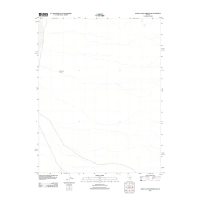
2012 Map of Quinn Canyon Springs NW
USGS Topo · Published 2012About this map
Moonshine Canyon carves through this high-desert terrain in Nye County, revealing a landscape defined by dramatic elevation changes and sparse water sources. This 2012 survey by the U.S. Geological Survey details a remote section of Nevada where topography is the primary feature. The presence of Seeps Spring in the northeast corner of the map points to the rare and critical water points that sustain life and navigation in such arid environments. While the map is dominated by contour lines and rugged canyons, the inclusion of light-duty roads and trails provides insight into the modern accessibility of these remote basins. The placement of such features suggests a region primarily used for resource management or backcountry exploration rather than permanent settlement.
Find a feature on this map
2 named features on this map. Tap any name to fly to it.
Don’t see what you’re looking for? This feature index may not catch every label — zoom into the map to look around manually.
Map Details
Editions of this 2012 Quinn Canyon Springs NW Map
This is the sole edition of this map. No revisions or reprints were ever made.
Other maps of this area

1908 · Kawich
USGS Topo · 1:250,000

1942 · Reveille Peak
USGS Topo · 1:125,000

1942 · Penoyer Valley
USGS Topo · 1:125,000

1952 · Reveille Peak
USGS Topo · 1:62,500

1954 · Caliente
USGS Topo · 1:250,000

1954 · Goldfield
USGS Topo · 1:250,000

1955 · Goldfield
USGS Topo · 1:250,000

1956 · Lund
USGS Topo · 1:250,000

1956 · Tonopah
USGS Topo · 1:250,000

1958 · Goldfield
USGS Topo · 1:250,000