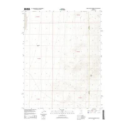
2014 Map of Quinn Canyon Springs NW
USGS Topo · Published 2014About this map
Quinn Canyon Range dominates the eastern expanse of this 2014 survey, where the high desert terrain transitions into steep topographical ridges. This area of Nye County is characterized by its isolation and dramatic elevation changes, punctuated by water sources like Seeps Spring in the northeast corner. The map follows the longitudinal boundary of Nye and Lincoln counties, providing a precise record of how these administrative lines intersect with the physical geography of the Great Basin. To the west, the landscape softens into the drainage of Moonshine Canyon, showcasing the natural conduits that define this arid environment. The presence of these named water features and canyons suggests their importance as landmarks and resources in a region where such points of interest are geographically sparse.
Find a feature on this map
10 named features on this map. Tap any name to fly to it.
Don’t see what you’re looking for? This feature index may not catch every label — zoom into the map to look around manually.
Map Details
Editions of this 2014 Quinn Canyon Springs NW Map
This is the sole edition of this map. No revisions or reprints were ever made.
Other maps of this area

1908 · Kawich
USGS Topo · 1:250,000

1942 · Reveille Peak
USGS Topo · 1:125,000

1942 · Penoyer Valley
USGS Topo · 1:125,000

1952 · Reveille Peak
USGS Topo · 1:62,500

1954 · Caliente
USGS Topo · 1:250,000

1954 · Goldfield
USGS Topo · 1:250,000

1955 · Goldfield
USGS Topo · 1:250,000

1956 · Lund
USGS Topo · 1:250,000

1956 · Tonopah
USGS Topo · 1:250,000

1958 · Goldfield
USGS Topo · 1:250,000