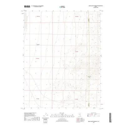
2018 Map of Quinn Canyon Springs NW
USGS Topo · Published 2018About this map
Quinn Canyon Range dominates the eastern portion of this high-desert landscape in Nye County, following the jagged boundary between Nye and Lincoln counties. This 2018 survey illustrates a remote corner of Nevada defined by dramatic relief and intermittent water sources. The presence of Seeps Spring in the northern reach of the range indicates the critical importance of isolated water points for livestock and wildlife in this arid environment. To the west, the terrain transitions into the distinct topography of Moonshine Canyon, highlighting the complex drainage patterns that shape the regional basin and range province. The map documents the Public Land Survey System grid across multiple townships, including t1n r54e, reflecting the systematic division of these federal lands for grazing and resource management.
Find a feature on this map
10 named features on this map. Tap any name to fly to it.
Don’t see what you’re looking for? This feature index may not catch every label — zoom into the map to look around manually.
Map Details
Editions of this 2018 Quinn Canyon Springs NW Map
This is the sole edition of this map. No revisions or reprints were ever made.
Other maps of this area

1908 · Kawich
USGS Topo · 1:250,000

1942 · Reveille Peak
USGS Topo · 1:125,000

1942 · Penoyer Valley
USGS Topo · 1:125,000

1952 · Reveille Peak
USGS Topo · 1:62,500

1954 · Caliente
USGS Topo · 1:250,000

1954 · Goldfield
USGS Topo · 1:250,000

1955 · Goldfield
USGS Topo · 1:250,000

1956 · Lund
USGS Topo · 1:250,000

1956 · Tonopah
USGS Topo · 1:250,000

1958 · Goldfield
USGS Topo · 1:250,000