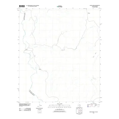
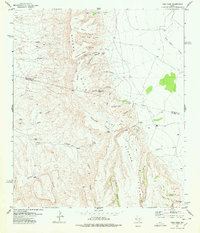
2010 Map of Quinn Creek
USGS Topo · Published 2010About this map
The Rio Grande forms the international boundary between the United States and the Estados Unidos Mexicanos in this section of the West Texas desert. Small, isolated settlements like Porvenir, Pilares, and Sanchez Ranch sit along the river's edge, connected to the interior by sparse desert tracks such as White Tank Rd. The landscape away from the river is dominated by arid drainages and landforms, including the winding Quinn Creek and Van Horn Creek, which flow toward the border from the high ground of Quinn Mesa. These seasonal watercourses and local landmarks like the Soldier Windmill or Stiffer Spring were vital points of orientation for ranchers and travelers navigating this sparsely populated borderland at the start of the 21st century.
Find a feature on this map
12 named features on this map. Tap any name to fly to it.
Don’t see what you’re looking for? This feature index may not catch every label — zoom into the map to look around manually.
Map Details
Editions of this 2010 Quinn Creek Map
This is the sole edition of this map. No revisions or reprints were ever made.
Other maps of this area

1892 · Chispa
USGS Topo · 1:125,000

1895 · Chispa
USGS Topo · 1:125,000

1896 · San Carlos
USGS Topo · 1:125,000

1897 · Chispa
USGS Topo · 1:125,000

1959 · Marfa
USGS Topo · 1:250,000

1965 · Marfa
USGS Topo · 1:250,000
1972 · Soldier Spring
USGS Topo · 1:24,000
1972 · Bennett Ranch
USGS Topo · 1:24,000
1978 · Gettysburg Peak
USGS Topo · 1:24,000
1978 · Vieja Pass
USGS Topo · 1:24,000