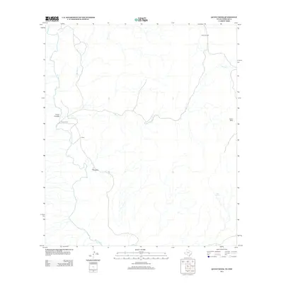
2012 Map of Quinn Creek
USGS Topo · Published 2012About this map
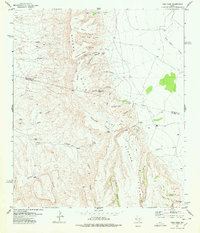
Porvenir sits along the northern banks of the Rio Grande in this survey of the West Texas borderlands. The landscape is defined by the winding drainage systems of Quinn Cr and Van Horn Cr, which carve through the high desert terrain. Local ranching and historical habitation are evident at Sanchez Ranch and the settlement of Pilares, while isolated water sources like Siffer Spring and the Soldier Windmill provide critical landmarks in a dry environment. Rising above the desert floor, the prominent Quinn Mesa and the drainage of Arroyo Enmedio illustrate the complex topography of this international boundary region, where the river serves as both a physical barrier and a central geographic feature.
Find a feature on this map
10 named features on this map. Tap any name to fly to it.
Don’t see what you’re looking for? This feature index may not catch every label — zoom into the map to look around manually.
Map Details
Editions of this 2012 Quinn Creek Map
This is the sole edition of this map. No revisions or reprints were ever made.
Other maps of this area

1892 · Chispa
USGS Topo · 1:125,000

1895 · Chispa
USGS Topo · 1:125,000

1896 · San Carlos
USGS Topo · 1:125,000

1897 · Chispa
USGS Topo · 1:125,000

1959 · Marfa
USGS Topo · 1:250,000

1965 · Marfa
USGS Topo · 1:250,000
1972 · Soldier Spring
USGS Topo · 1:24,000
1972 · Bennett Ranch
USGS Topo · 1:24,000
1978 · Gettysburg Peak
USGS Topo · 1:24,000
1978 · Vieja Pass
USGS Topo · 1:24,000