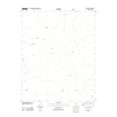
2012 Map of Quinn Peak
USGS Topo · Published 2012About this map
Quinn Peak and Maggie Mountain anchor this high-elevation landscape in Tulare County, defined by a network of drainage systems feeding the Little Kern River and the S Fork Kaweah River. The map reveals a specific pattern of human activity characterized by isolated outposts and seasonal shelters, including Broders Cabin, Pecks Cabin, Walkers Cabin, and Nelson Cabin. These sites, alongside locations like Newlywed and Wet Meadows, suggest a history of high-country ranching or forest management. The aquatic features are numerous, ranging from the high-altitude Frog Lakes and Twin Lakes to specialized landmarks such as Soda Butte and Soda Spring Cr. This topography reflects the transitional nature of the Sierra Nevada, where names like Windy Gap and Pecks Canyon identify the literal pathways and obstacles encountered by early travelers and modern conservationists alike.
Find a feature on this map
34 named features on this map. Tap any name to fly to it.
Don’t see what you’re looking for? This feature index may not catch every label — zoom into the map to look around manually.
Map Details
Editions of this 2012 Quinn Peak Map
This is the sole edition of this map. No revisions or reprints were ever made.
Other maps of this area

1904 · Kaweah
USGS Topo · 1:125,000

1905 · Olancha
USGS Topo · 1:125,000

1907 · Olancha
USGS Topo · 1:125,000

1909 · Kaweah
USGS Topo · 1:125,000

1937 · Kaweah
USGS Topo · 1:125,000

1948 · Fresno
USGS Topo · 1:250,000

1955 · Fresno
USGS Topo · 1:250,000

1956 · Fresno
USGS Topo · 1:250,000

1956 · Hockett Peak
USGS Topo · 1:62,500

1956 · Mineral King
USGS Topo · 1:62,500