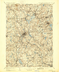
1908 Map of Quinsigamond
USGS Topo · Published 1930About this map
Wachusett Mountain towers over a landscape defined by central Massachusetts' early industrial and institutional growth. Surveyed in the late 1880s and reprinted in 1930, this study captures the extensive water management systems essential to the region, including the Holden Reservoir and Wallis Reservoir. The terrain is marked by significant state facilities of the era, such as the State Lunatic Hospital and Westboro Insane Hospital, alongside the Wachusett Mountain State Reservation. The rail network is highly developed, with the Boston and Albany RR and Boston and Maine RR connecting manufacturing hubs like Marlboro and Worcester to smaller rural depots like Hubbardston Sta and Princeton Depot. This map reflects the transition from a purely agrarian economy to a complex system of mill towns and institutional sites, all anchored by the rugged hills of Worcester County.
Find a feature on this map
246 named features on this map. Tap any name to fly to it.
Don’t see what you’re looking for? This feature index may not catch every label — zoom into the map to look around manually.
Map Details
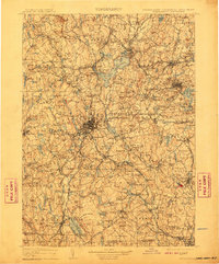
Editions of this 1908 Quinsigamond Map
3 editions found

Other maps of this area

1885 · Worcester
USGS Topo · 1:62,500

1886 · Worcester
USGS Topo · 1:62,500

1886 · Blackstone
USGS Topo · 1:62,500

1886 · Lowell
USGS Topo · 1:62,500

1886 · Framingham
USGS Topo · 1:62,500

1887 · Brookfield
USGS Topo · 1:62,500

1887 · Franklin
USGS Topo · 1:62,500

1887 · Winchendon
USGS Topo · 1:62,500

1887 · Providence
USGS Topo · 1:62,500

1887 · Marlboro
USGS Topo · 1:62,500