
1908 Map of Quinsigamond
USGS Topo · Published 1908About this map
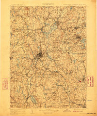
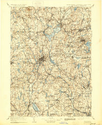
Worcester serves as the central hub of this 1908 study, appearing at a critical period of industrial and infrastructure development in Massachusetts. The landscape is dominated by the recently completed Wachusett Reservoir, a massive engineering feat that dramatically altered the terrain of West Boylston and Boylston Center. This map, reduced from earlier detailed atlas sheets, provides a comprehensive view of the region's complex water and rail systems, showing the Blackstone River and Nashua River valleys before mid-century modernizations.
Find a feature on this map
95 named features on this map. Tap any name to fly to it.
Don’t see what you’re looking for? This feature index may not catch every label — zoom into the map to look around manually.
Map Details
Editions of this 1908 Quinsigamond Map
3 editions found
Other maps of this area

1885 · Worcester
USGS Topo · 1:62,500

1886 · Worcester
USGS Topo · 1:62,500

1886 · Blackstone
USGS Topo · 1:62,500

1886 · Lowell
USGS Topo · 1:62,500

1886 · Framingham
USGS Topo · 1:62,500

1887 · Brookfield
USGS Topo · 1:62,500

1887 · Franklin
USGS Topo · 1:62,500

1887 · Winchendon
USGS Topo · 1:62,500

1887 · Providence
USGS Topo · 1:62,500

1887 · Marlboro
USGS Topo · 1:62,500