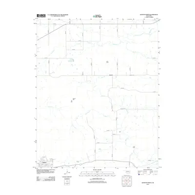
2012 Map of Quinton North
USGS Topo · Published 2012About this map
Quinton Cem and the northern residential streets of Quinton anchor the southwestern corner of this survey, where the town grid meets the rural road system of Pittsburg County. Moving north, the landscape is defined by the drainage basins of Emachaya Cr and Beaver Cr, which carve through the terrain near notable high points like Beaver Mtn and Blu Mtn. The rural communities of Hughart and Lona Valley represent the scattered settlement patterns of this region, connected by a network of section line roads such as Beaver Mt Rd and Lone Valley Rd. Genealogists may find particular interest in the location of Lona Cem and the smaller Little Knob, providing specific geographic context for local family history and the historical placement of rural homesteads in eastern Oklahoma.
Find a feature on this map
45 named features on this map. Tap any name to fly to it.
Don’t see what you’re looking for? This feature index may not catch every label — zoom into the map to look around manually.
Map Details
Editions of this 2012 Quinton North Map
This is the sole edition of this map. No revisions or reprints were ever made.
Other maps of this area

1900 · Sansbois
USGS Topo · 1:125,000

1909 · Sans Bois
USGS Topo · 1:125,000

1911 · Sansbois
USGS Topo · 1:125,000

1946 · Fort Smith
USGS Topo · 1:250,000

1962 · Stigler West
USGS Topo · 1:24,000

1963 · Porum
USGS Topo · 1:24,000

1963 · Texanna
USGS Topo · 1:24,000

1965 · Fort Smith
USGS Topo · 1:250,000

1967 · Fort Smith
USGS Topo · 1:250,000
1969 · Kinta
USGS Topo · 1:24,000