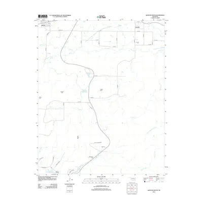
2012 Map of Quinton South
USGS Topo · Published 2012About this map
Quinton and the nearby community of Lewisville anchor the northern reaches of this Pittsburg County landscape, where the terrain shifts from town streets like Adams St to the isolated elevations of the Sans Bois Mountains. Water management is a defining characteristic of the area, seen in the presence of Quinton City Lake, Coblentz Lake, and the Fourche-Maline Cr Site 5 Reservoir to the southwest.
Find a feature on this map
44 named features on this map. Tap any name to fly to it.
Don’t see what you’re looking for? This feature index may not catch every label — zoom into the map to look around manually.
Map Details
Editions of this 2012 Quinton South Map
This is the sole edition of this map. No revisions or reprints were ever made.
Other maps of this area

1900 · Sansbois
USGS Topo · 1:125,000

1901 · Tuskahoma
USGS Topo · 1:125,000

1908 · Tuskahoma
USGS Topo · 1:125,000

1909 · Tuskahoma
USGS Topo · 1:125,000

1909 · Sans Bois
USGS Topo · 1:125,000

1911 · Sansbois
USGS Topo · 1:125,000

1940 · Red Oak
USGS Topo · 1:62,500

1943 · Red Oak
USGS Topo · 1:62,500

1946 · Fort Smith
USGS Topo · 1:250,000

1950 · Mcalester
USGS Topo · 1:250,000